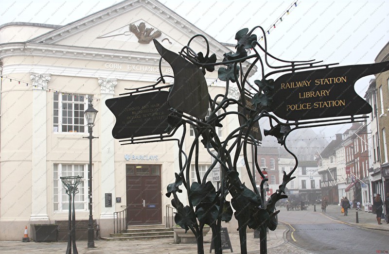
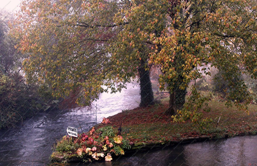
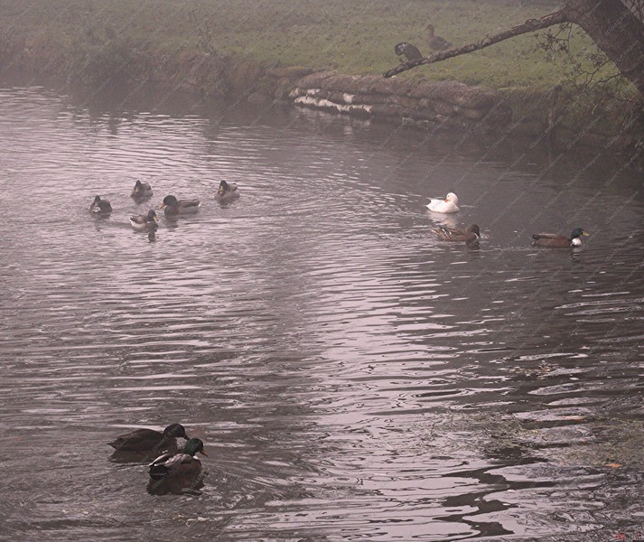
Landscapes
This page is dedicated to landscape photography that I have been lucky enough to capture when I am out and about with my camera, here there and everywhere!

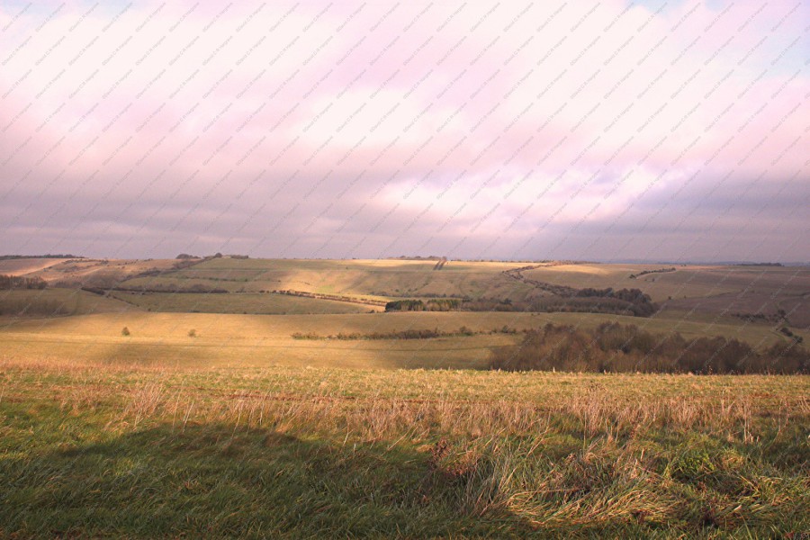
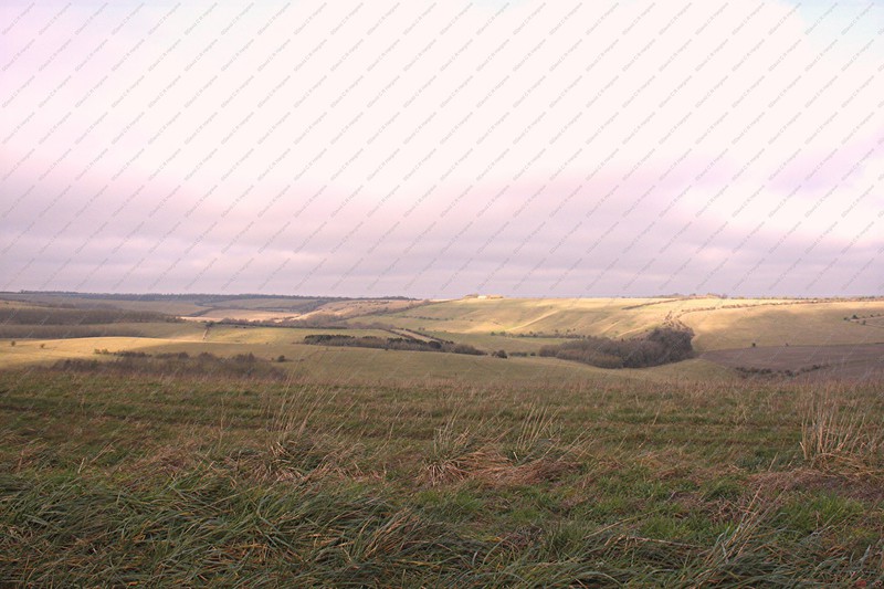
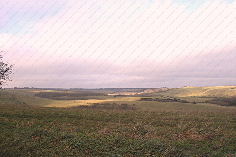
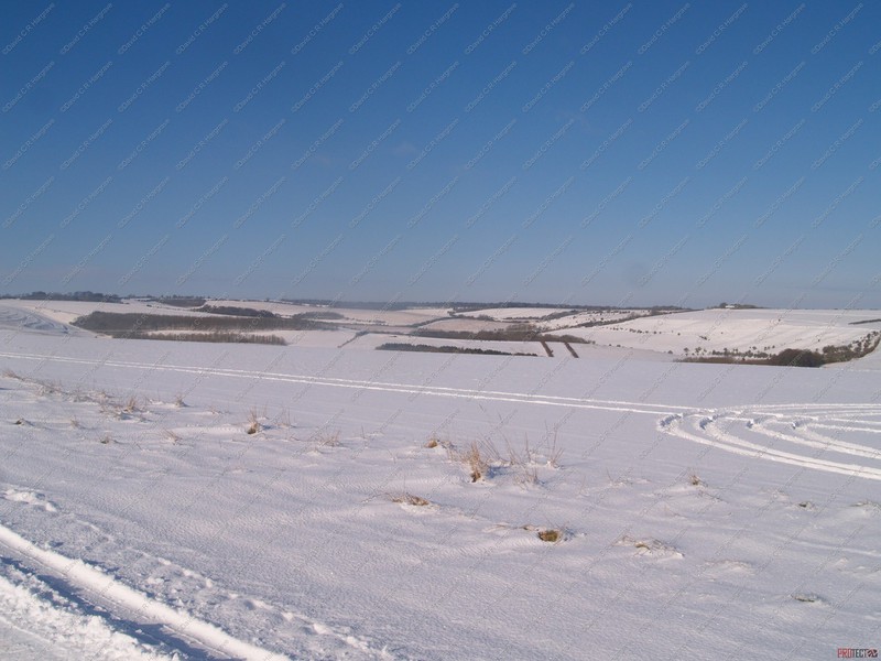
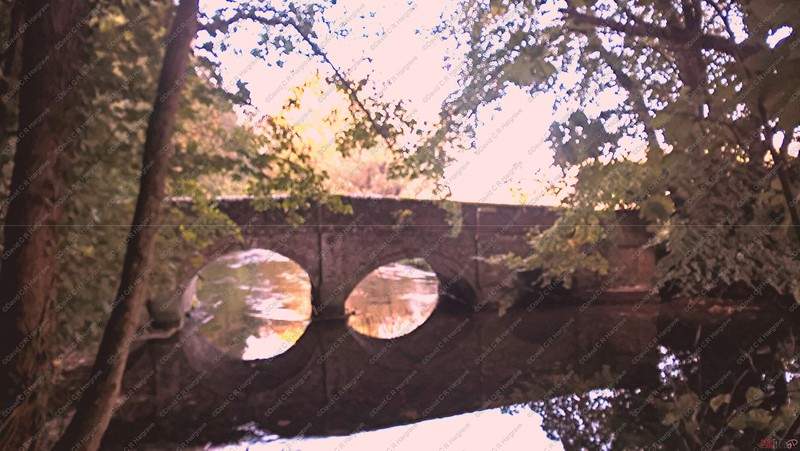
Teffont - 18.12.19
This beautiful view was captured on a trip to Teffont in the Nadder Valley.
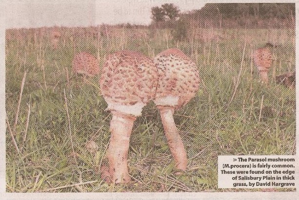
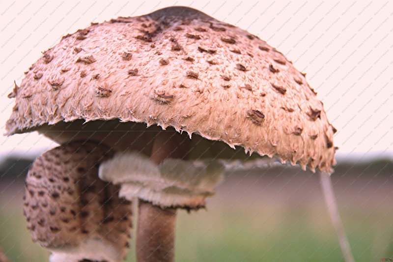
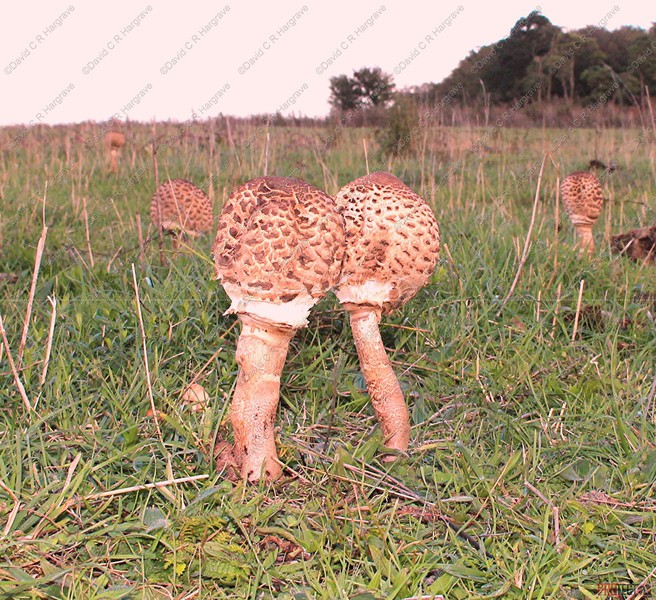
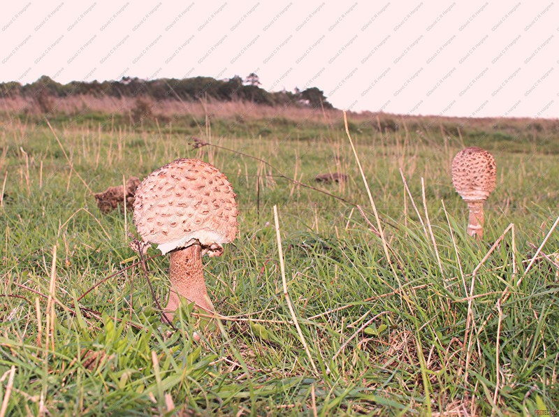
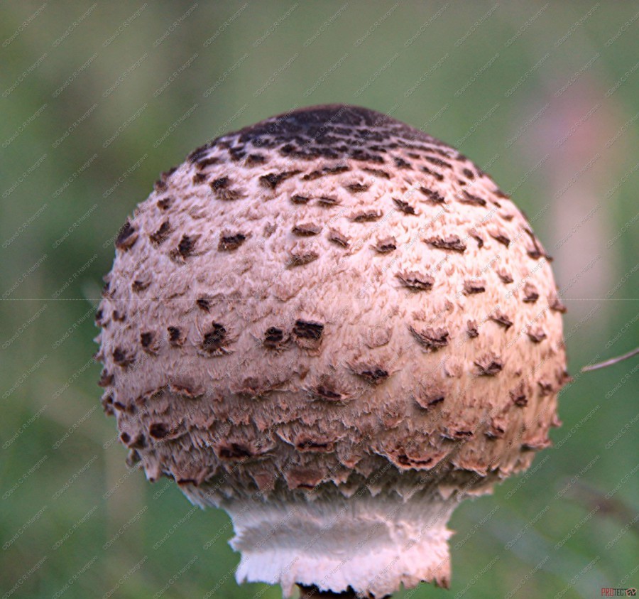 Parasol Mushroom
The Parasol Mushroom - 10.10.19
The Parasol mushroom (M.procera) is fairly common, these were found on the edge of Salisbury Plain in thick grass.
This is a mushroom you can’t really miss – standing tall and proud shouting out it’s presence to the world. It is a solitary soul but sometimes you can find small
and large groups of them together.
As the common name suggests, the open cap mimics the familiar shape of a parasol. When young, the cap is egg shaped and flattens out when it expands. The cap
is a pale buff to white/creamy/brown colour with darker brown shaggy scales. Notably, it has a prominent bump on the top in the centre (umbo).
It’s long slender stem (slightly thicker near the base) has scaly snakeskin markings with a large (double) ring which can be moved up and down. Great fun.
This scaly snakeskin appearance on the stem that helps in identifying it from a Shaggy Parasol which does not share this characteristic.
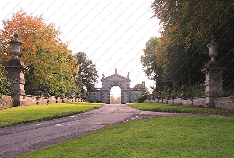
The Fonthill Estate
These photographs were taken last week, as I drove through the Fonthill Estate.
Looks like the cricket was abandoned during heavy showers, but they left the umpire on the pitch!!!!

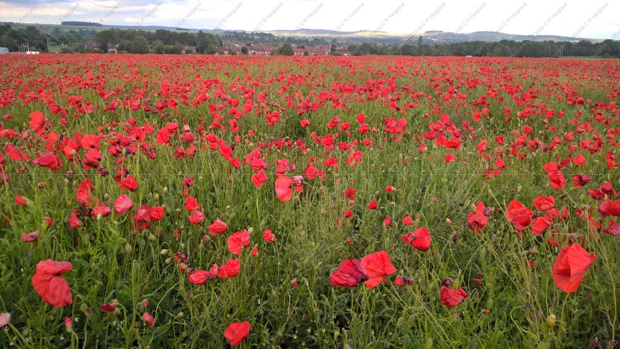
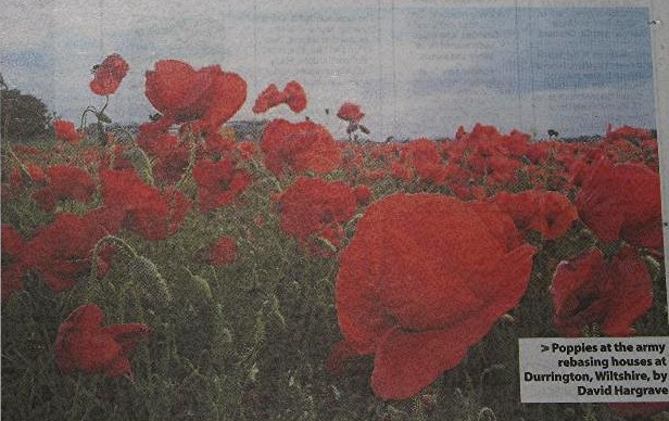
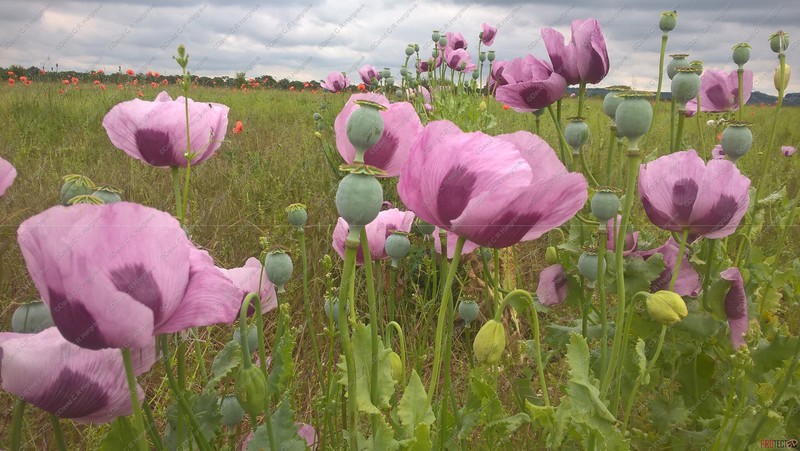
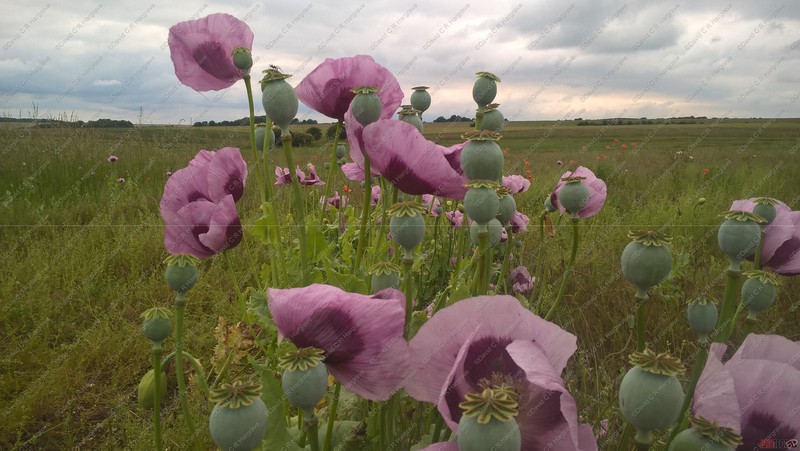
Salisbury Plain - Poppies Growing Wild
These poppies are growing in one of Mr Read's rented fields, which is about to be built upon by the next stage of the Army Rebasing programme at Larkhill Garrrison.
The field was sown as oilseed rape and due to cultivations probably being deeper than previous years and the climatic conditions there is an abundance of poppy seeds germinated.


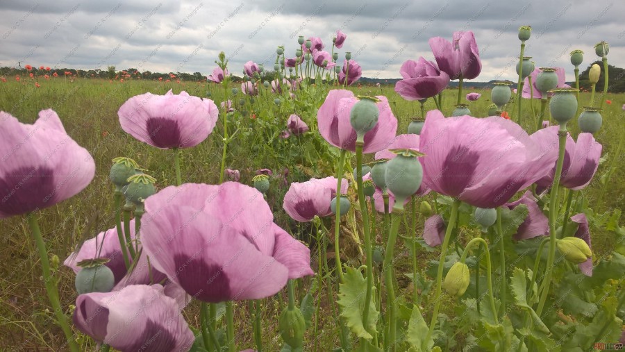
Salisbury Plain - Opium Poppies Growing Wild
These poppies are of the opium variety and are growing in soil which has been recently disturbed. It is likely the seed has been dormant in the soil for many years.
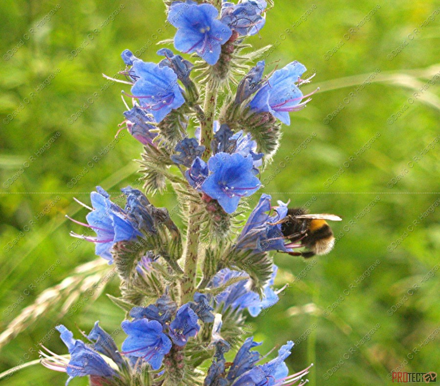
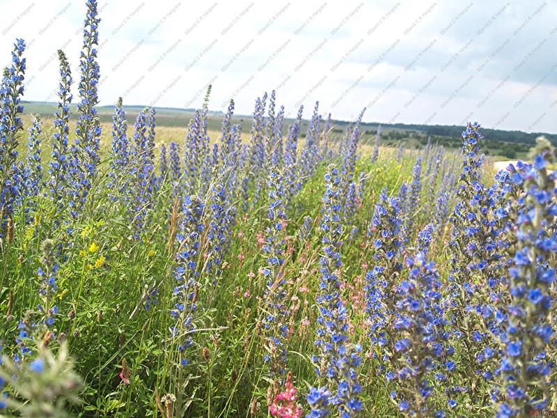
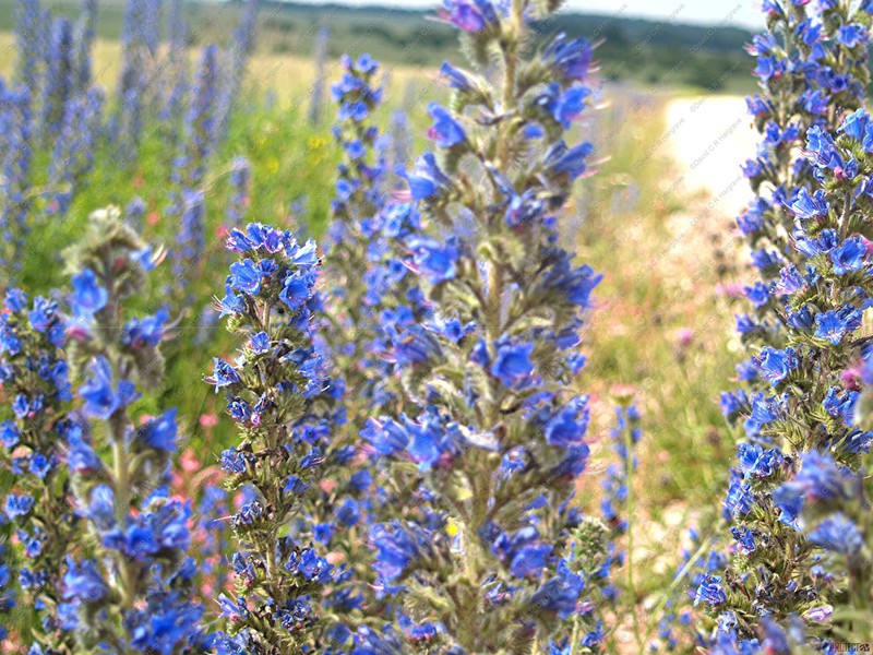
Salisbury Plain - Wildflowers
Viper's-bugloss is a hairy plant with dense spikes of bright blue, funnel-shaped flowers. It is a species of flowering plant in the borage family Boraginaceae.
It is found on chalk grassland, sand dunes, cliffs and disturbed ground, and is in bloom from May to September. It provides food for a range of insects, including
Buff-tailed and Red-tailed Bumblebees, Large Skipper and Painted Lady butterflies, Honeybees and Red Mason Bees.
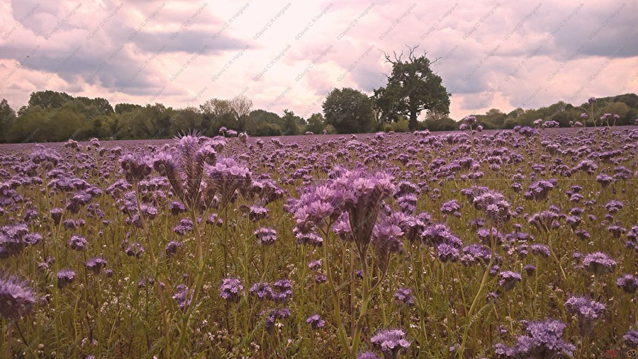
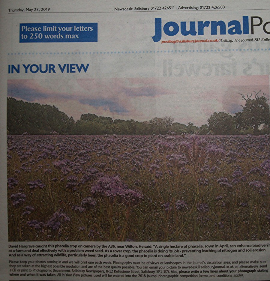
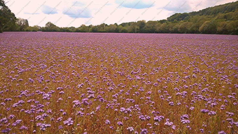
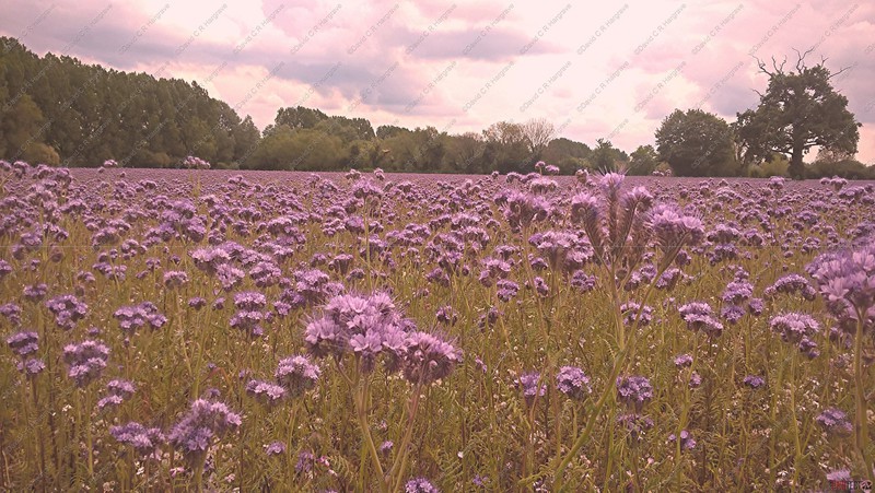
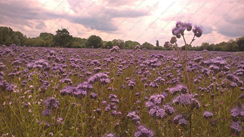
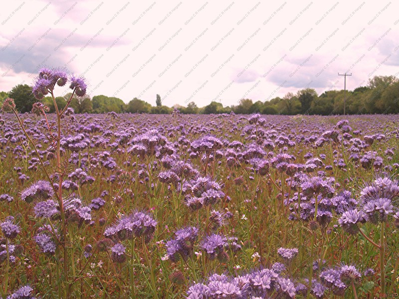
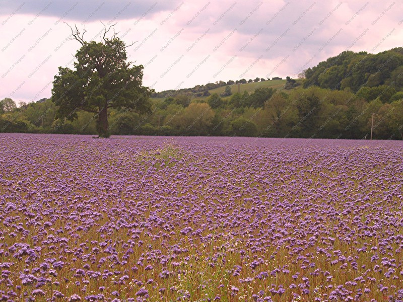
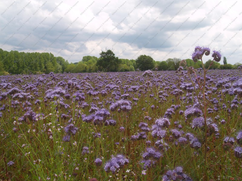
Phacelia Crop near Wilton - 20.05.19
These photographs show a crop of phacelia growing in the A36 valley near Wilton.
Phacelia planted has been so successful in attracting beneficial insects under trials.
A single hectare of phacelia, sown in April, can enhance biodiversity at a farm and deal effectively with a problem weed seed. As a cover crop, the phacelia is
doing its job - preventing leaching of nitrogen and soil erosion. As a way of attracting wildlife, particularly bees, the phacelia is a good crop to plant on arable land.
Phacelia requires little management, it is not permitted to flower for too long as it self-seeds. Glyphosate is applied whilst it is flowering so as not to kill the
beneficial insects and bees, then mown down once it has senesced ready for early ploughing for the autumn. It can also be used as a green mulch throughout autumn, before ploughing in winter in
preparation for early spring drilling.
Cover crops are just one aspect of the Biodiversity Project, which is helping provide the evidence that farmers don’t need compulsory measures to conserve and enhance the
wildlife in this country.
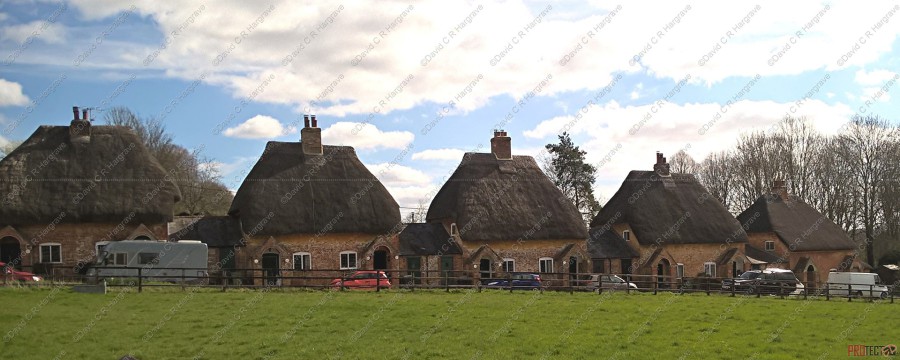
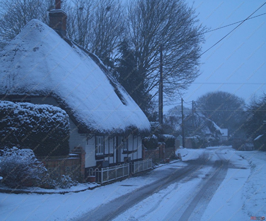
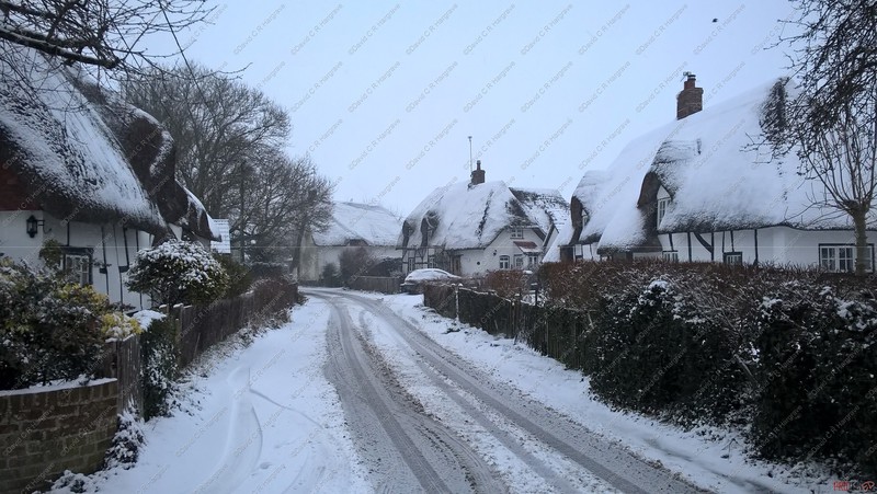
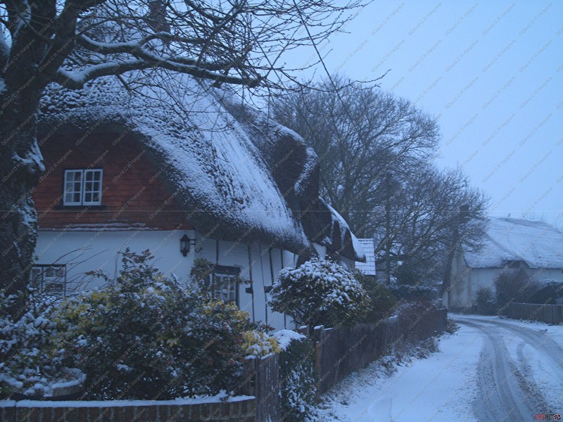
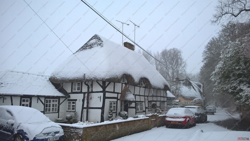
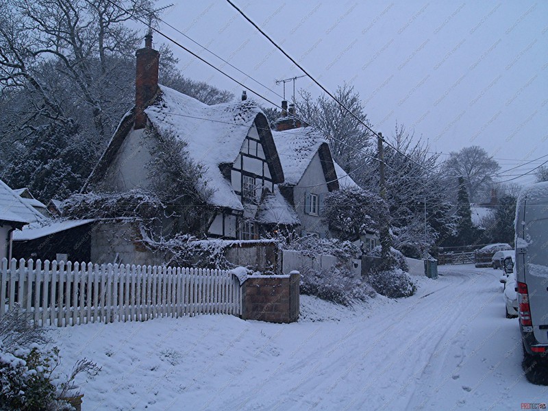
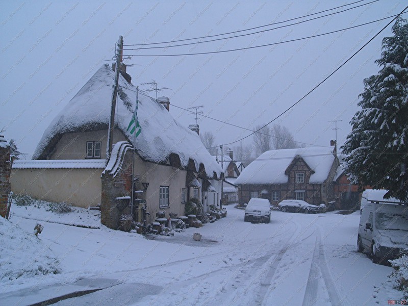
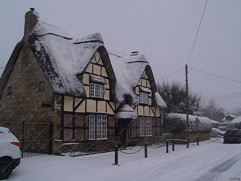
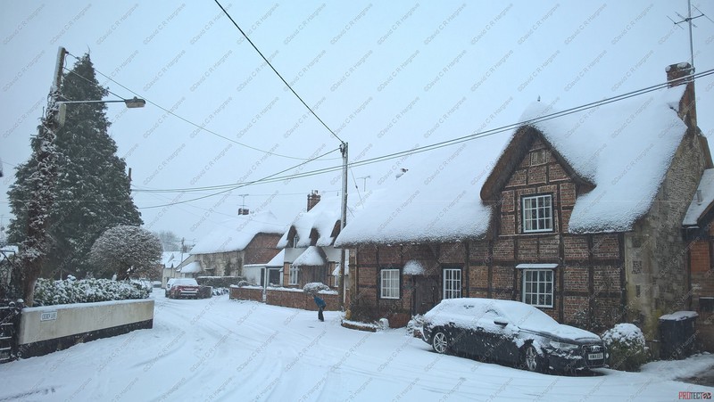
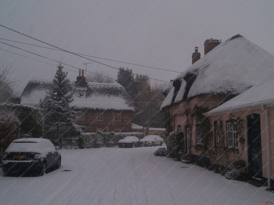
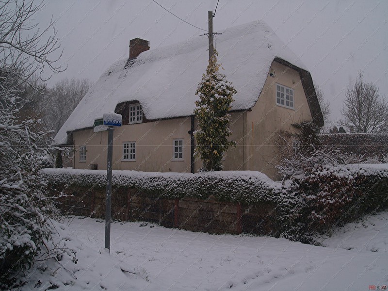
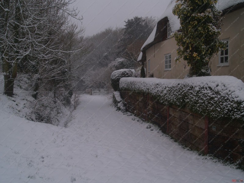
Thatched Cottages, Leverton - 26.03.19
This photograph was taken in Leverton near Chilton Foliat.
The cottages are Grade II listed thatched cottages, c.18th-19th century. The identical pairs of cottages are linked by tiled-roofed sheds. They may have been
estate workers' cottages for the Chilton Estate.
Leverton is a small hamlet in West Berkshire, England, close to the border with Wiltshire. Leverton was within the Berkshire part of the civil parish of Chilton
Foliat which was half in Wiltshire and half in Berkshire, until transferred to Hungerford parish in 1895.
It is a remarkably complete survival of an 18th/19th century estate village, belonging to the Chilton Lodge estate, and comprises a model farm, Gardener's bothy, Head
Gardener's cottage, kitchen garden with a full set of boiler houses and potting sheds, thatched apple store and a range of six thatched 'pepper pot' cottages originally inhabited by estate
workers.
The kitchen garden was restored to production in the late 1980s by the BBC for the Victorian Kitchen Garden series and also featured in subsequent spin-offs such as The
Victorian Kitchen and The Victorian Flower Garden. The hamlet also retains a set of stocks, although the originals were removed to the Ashmolean Museum, Oxford in the 1990s and were replaced by a
(non-functioning) replica.
Horningsham - 20.03.19
Horningsham is a small village and civil parish in Wiltshire, England, on the county border with Somerset. The village lies about 4 miles (6 km) southwest of the town of
Warminster and 4 1⁄2 miles (7 km) southeast of Frome, Somerset.
The parish forms part of the Longleat estate and includes the hamlets of Hitcombe Bottom and Newbury.
 Almshouses Longbridge Deverill
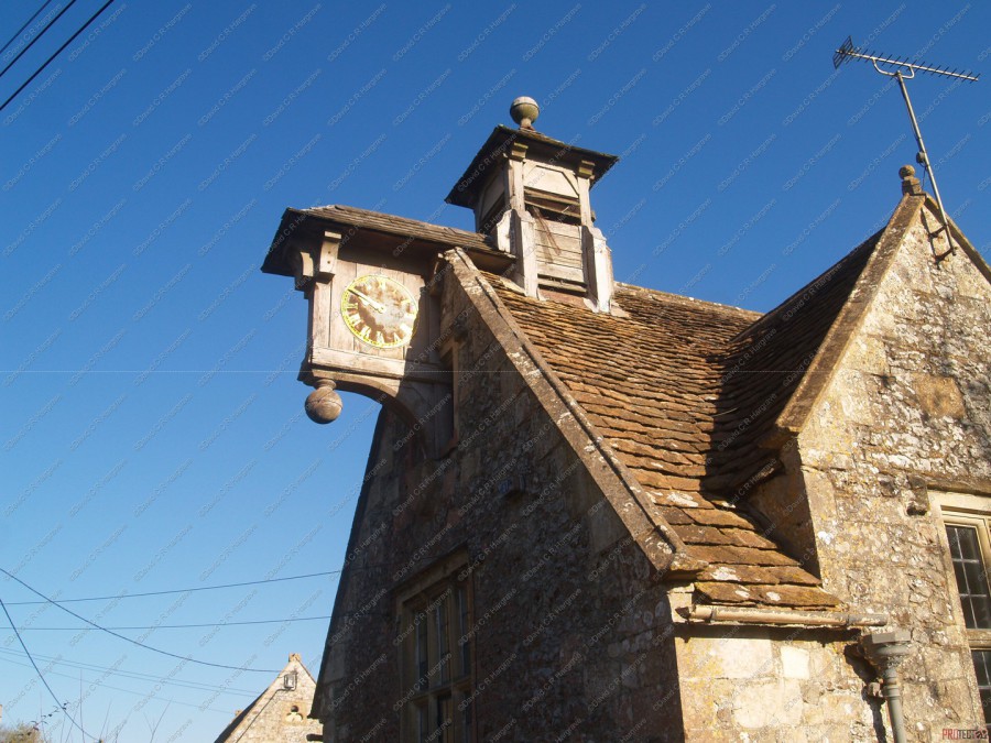
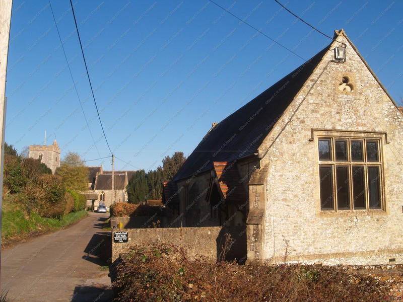
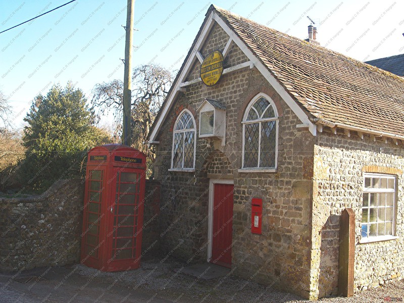
Almshouses Longbridge Deverill & Longbridge Deverill Village Hall - 05.03.19
Lying between the river Wylye and the Warminster to Shaftesbury road (A350), Sir James Thynne’s almshouses are a two-storey stone building with stone slate roof.
They were founded in 1655 by a bequest of Sir James Thynne of Longleat, who left money for the support of six poor men and two poor women, along with money to buy each of them a new cloak each
year. On the gable end facing the road is a wooden clock face and a louvred bellcote, both added in the 19th century. They continue to serve their original purpose, providing accomodation for
six elderly people, and were most recently refurbished in 1984.
There was a National School at Longbridge Deverill in the 1840s, and a new building of 1851 accommodated 100 pupils. Owing to falling pupil numbers, the school was closed in March 1970 and pupils transferred to the school at Sutton Veny.
The building remains in use as the village hall. A picturesque historic building now used for hire, with disabled access, kitchen and car park.
There is an Ordnance Survey bench mark on the west face of the building.
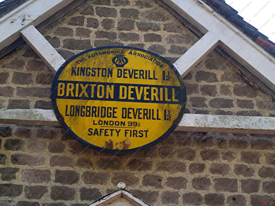
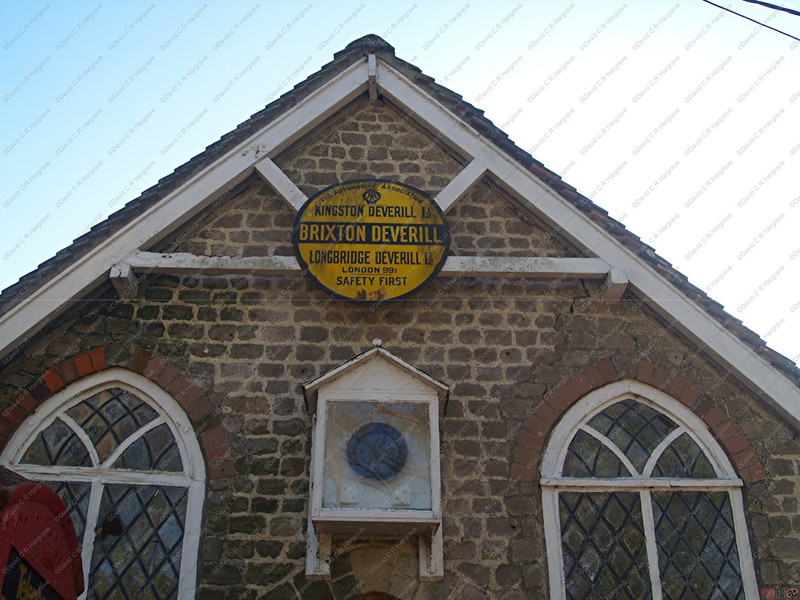
Brixton Deverill of The River Wylye, near Warminster.
The Parish is in the Deverill Valley which carries the upper waters of the River Wylye. The six villages of the valley - Kingston Deverill, Monkton Deverill,
Brixton, Hill Deverill, Longbridge Deverill and Crockerton - are known as the Deverills.
Scattered throughout Britain are a whole series of large yellow and black discs set up by the AA more than 80 years ago. We are told they are called village signs.
There is no record of where they are, or indeed how many, and the AA no longer 'owns' them.
Brixton Deverill has one of the few signs left.
From 1906 to approximately 1932,The Automobile Association erected nearly 30000 signs in villages and towns across Great Britain. Most were removed during the war when a
Nazi invasion seemed highly likely. At the end of World War II, only 600 or so were left and today there are around 65 still in situ around the country.
Many more have survived in museums and private collections.
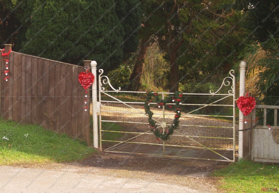
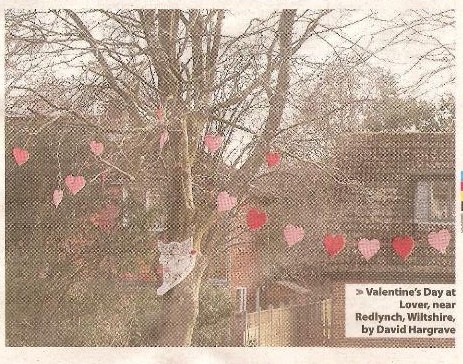
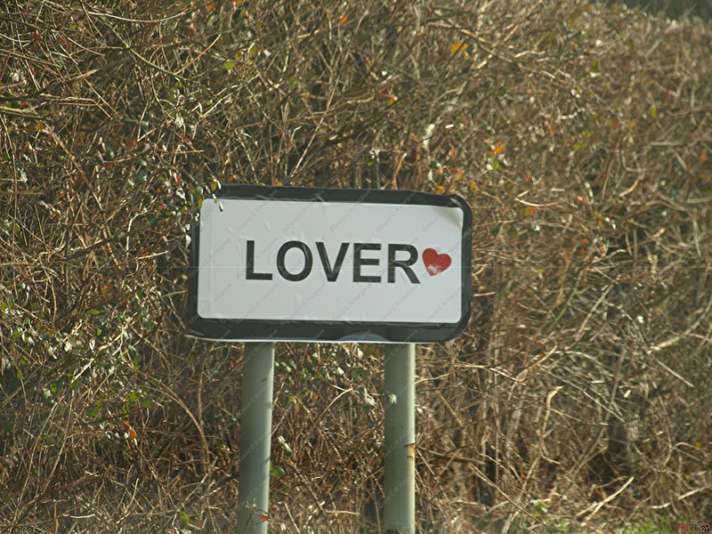
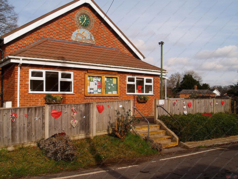
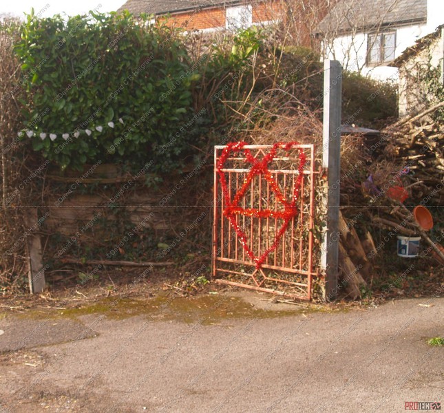
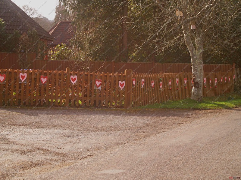
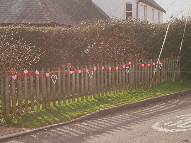
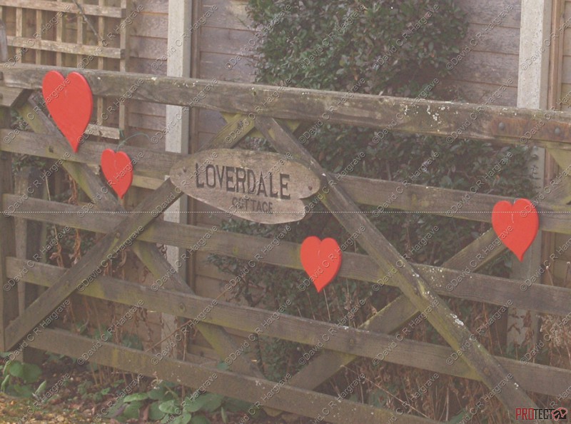
Lover near Redlynch, Salisbury - 13.02.19
The settlement was once called Warminster Green, but by 1876 it was known as Lover, possibly a corruption of Lower Redlynch. Lover consists of three roads that
connect together to form a triangle. These are Besomer Drove, School Road and Church Hill. The name Besomer Drove refers to the tradition of broom-making in the area.
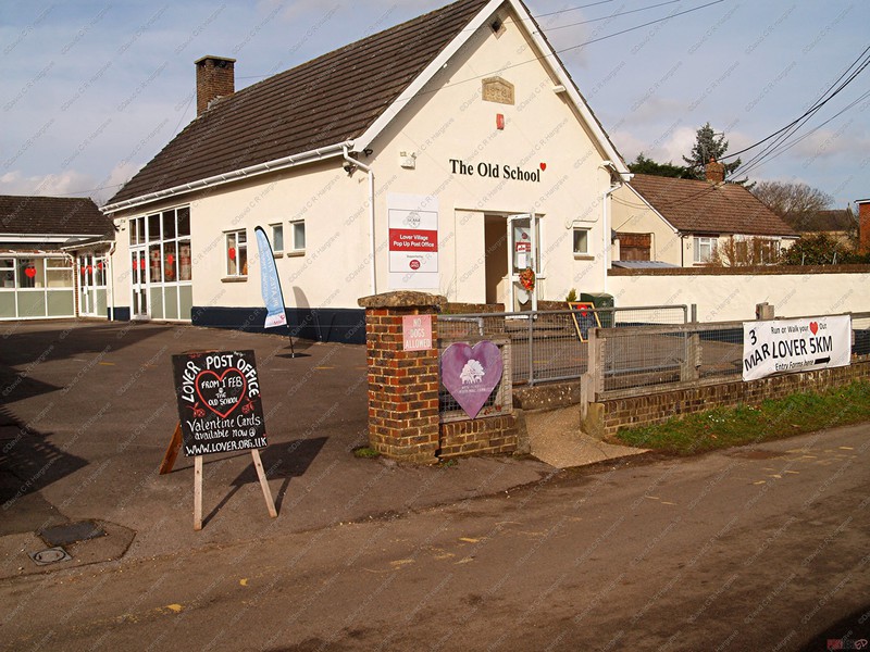
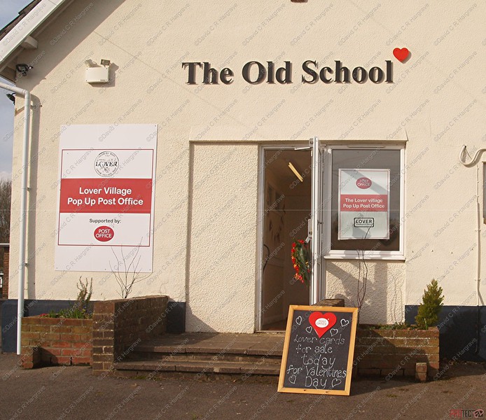
Lover has St Mary's church, built in 1837 to serve the Redlynch area. Nearby is Redlynch Village Hall.
A National School was built c. 1839 and rebuilt in 1878; it became Redlynch Church of England Voluntary Aided Primary School. After the school closed in 2006 its
playing fields were transferred to the parish council. Renamed Lover Green, the area is maintained by the community and is the venue for the annual Lover Country Fayre. In 2016 the school
buildings were bought by the community.
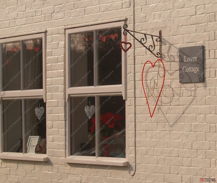
The Lover post office used to do much business around Valentine's Day, as the cards were postmarked "Lover". The post office was regarded as a "vital" service for the 100
people a week who used it. The post office was closed on 2 April 2008.
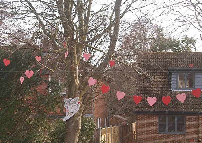
THE village of Lover was transformed with colourful hearts for its Valentine’s post. The post office was launched on Wednesday but the Lover cupids had already
started processing online orders.
The service will be in its third year and helps raise money for the Old School building, which was purchased by the village in 2017.
Last year, more than £5,000 was raised and to-date cards have been sent from Lover to more than 24 different countries including Slovakia, Belgium, France, Germany,
Malta, America, Mexico, China, Japan, Australia and New Zealand.

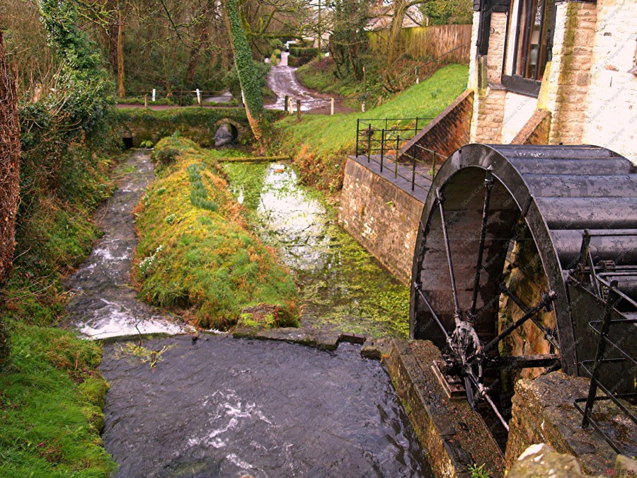
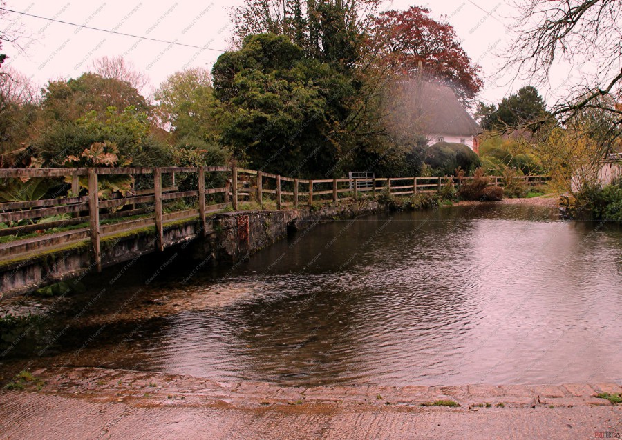
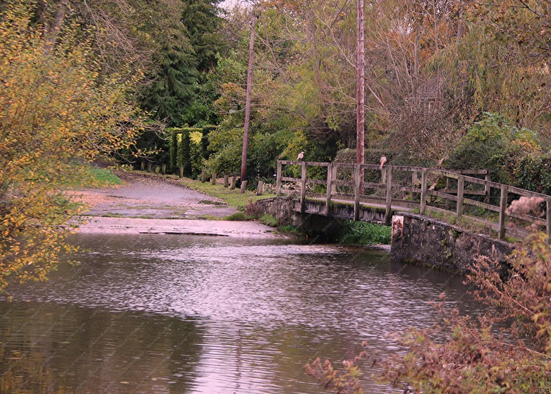
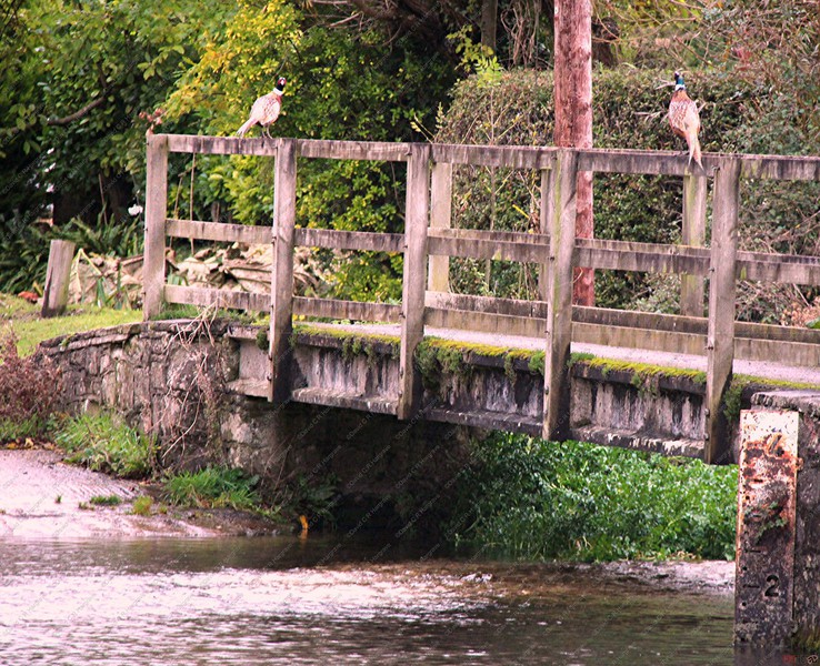
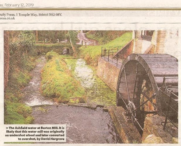
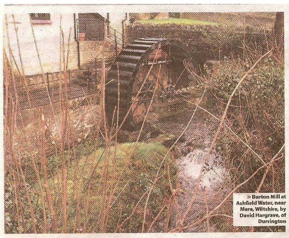
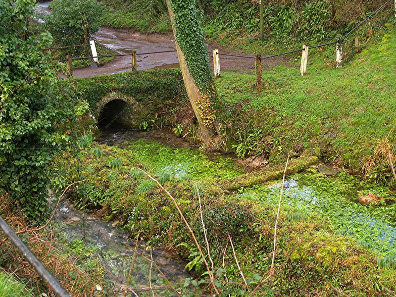
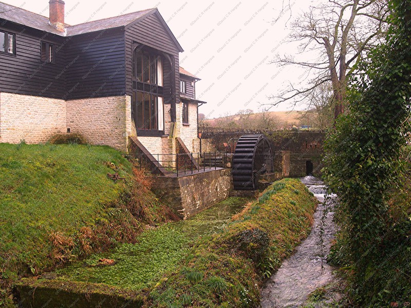
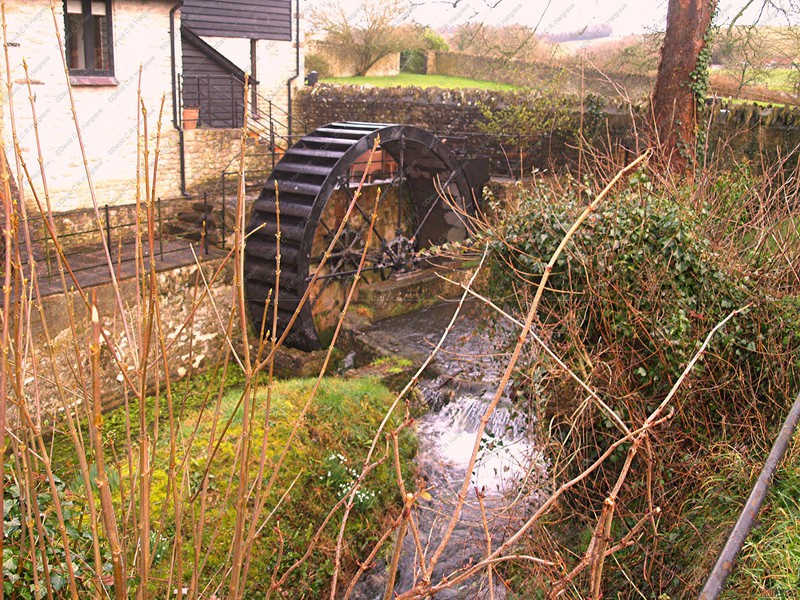
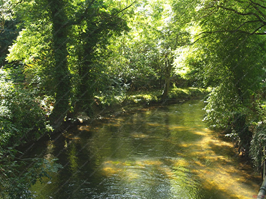
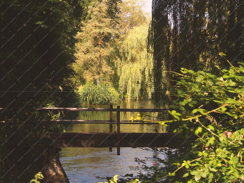
Burton Mill - 10.02.19
These photographs were taken of The Ashfield Water at Burton Mill and Mill Pond.
It is likely that this water mill was originally an undershot wheel and later converted to overshot. This would have not only produced more power at around
8hp, it would have also allowed a longer working season as the mill stream would have held more water.
Being fed by a chalk spring the stream could easily have run dry during the late summer months, causing the water wheel driven machinery to stop working.

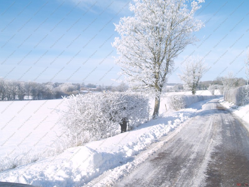
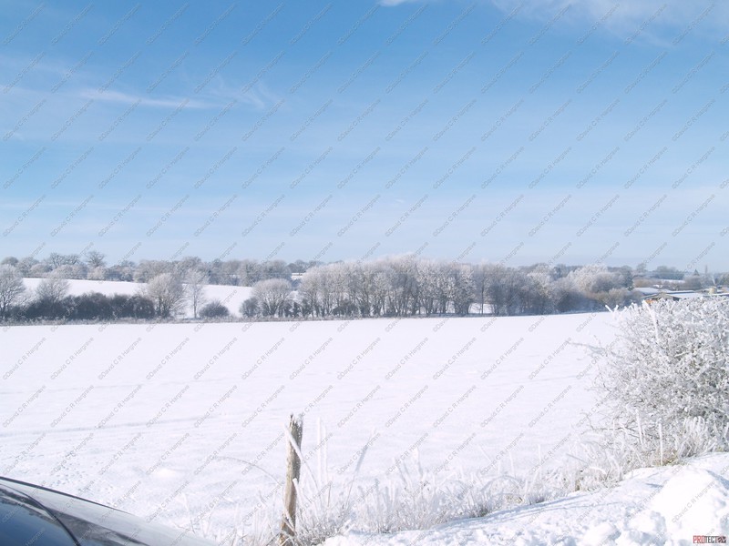
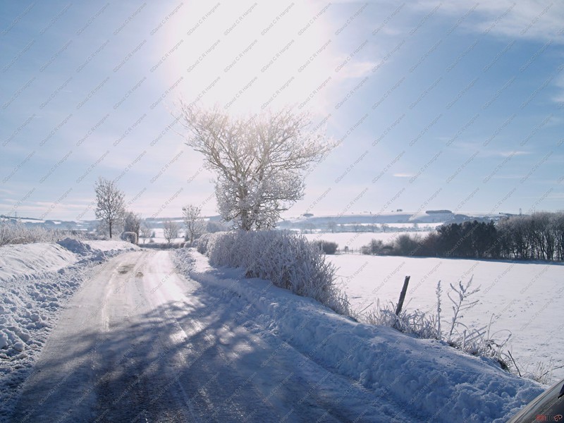
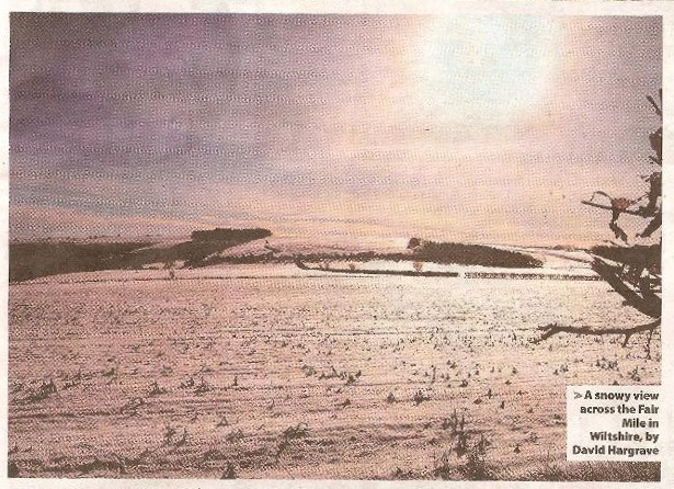
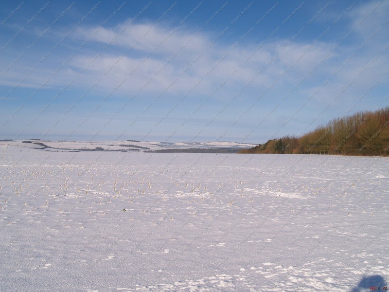
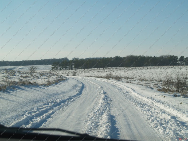
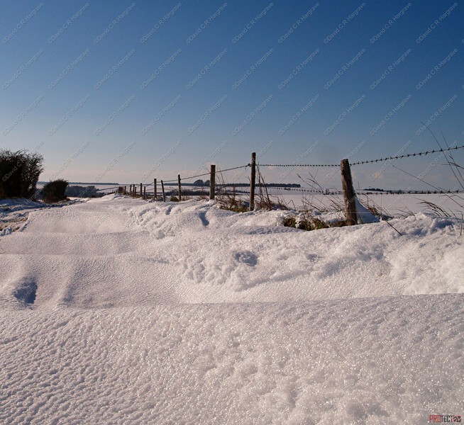
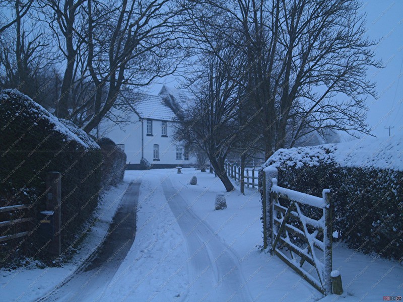
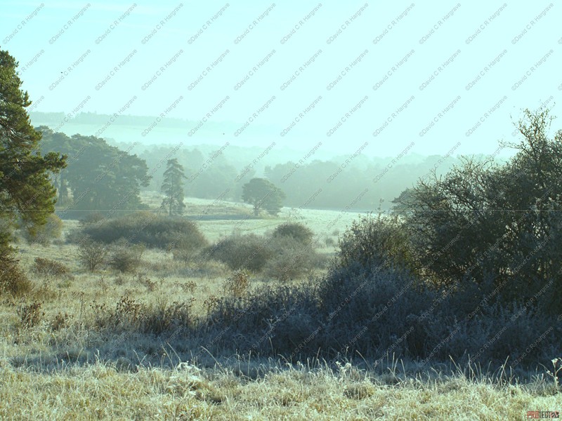
Hoar Frost - 03.02.19
The difference between minus 5 when I set out and minus 10 here is quite clear to be seen, its colder and whiter. After several nights of hard frosts, valleys can suffer from the amazing sight of a hoar frost.
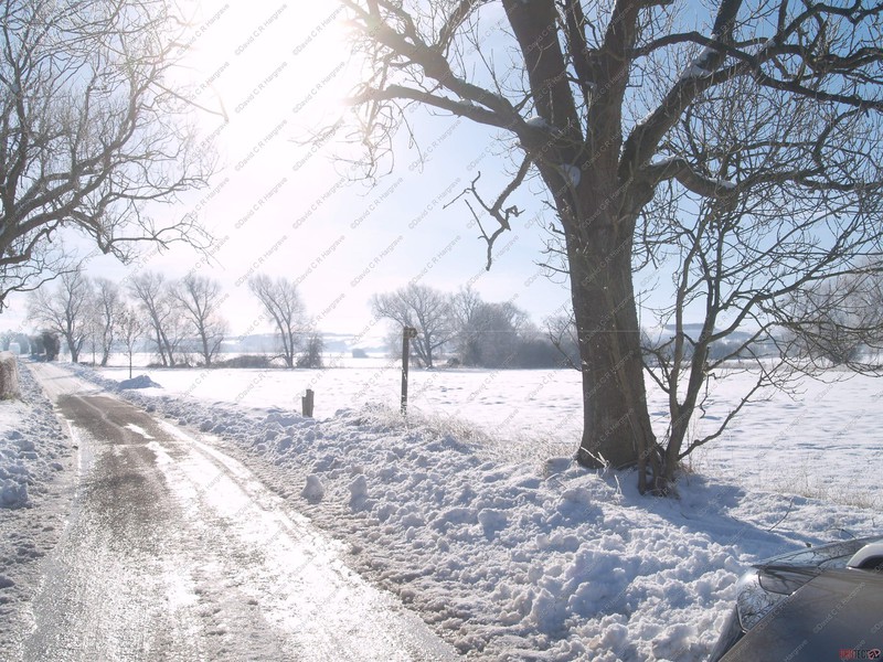
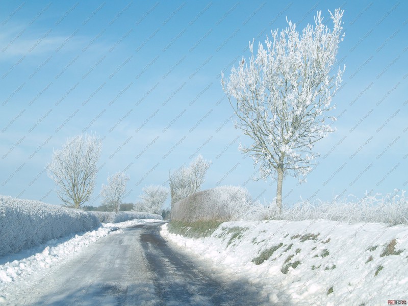
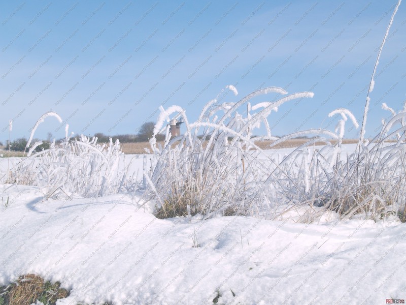
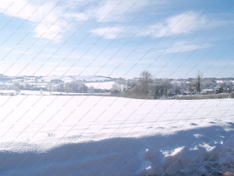
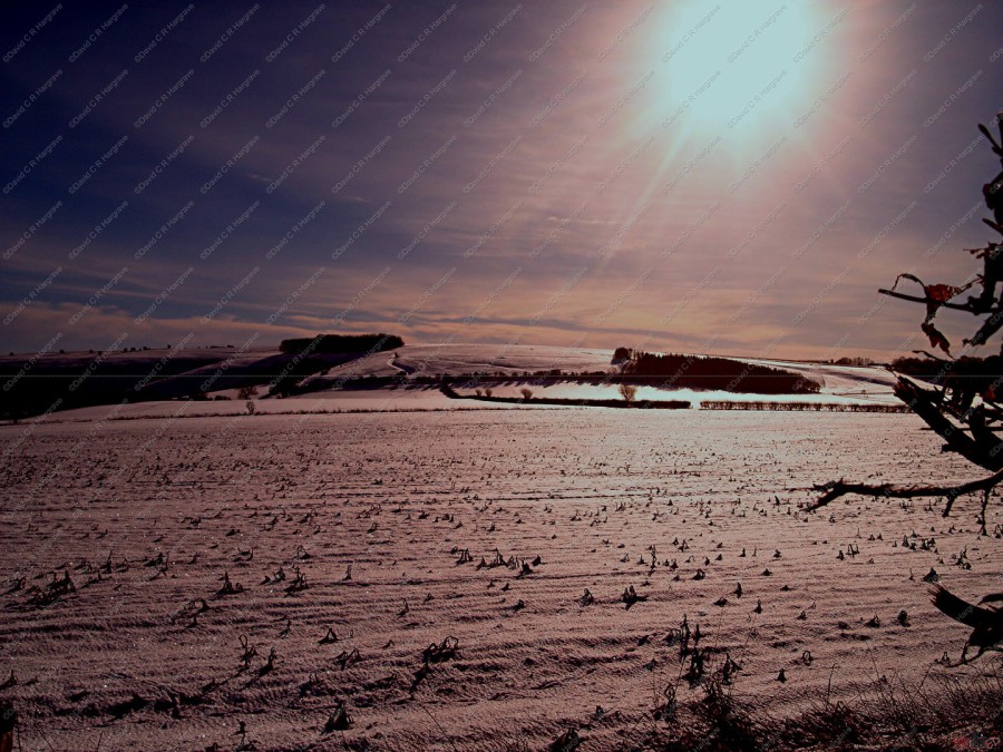
Hoar Frost - 03.02.19
These photographs were taken at sunrise on the Fairmile, while out and about . The difference between minus 5 when I set out and minus 10 here is quite clear to be
seen, its colder and whiter. After several nights of hard frosts, valleys can suffer from the amazing sight of a hoar frost. These photographs show just how picturesque it can
be.
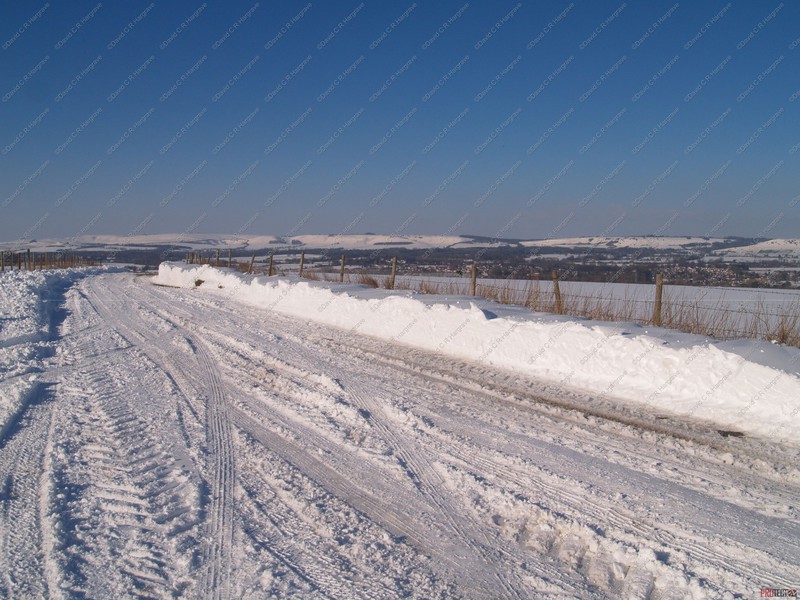
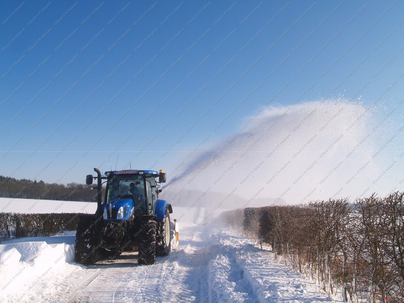
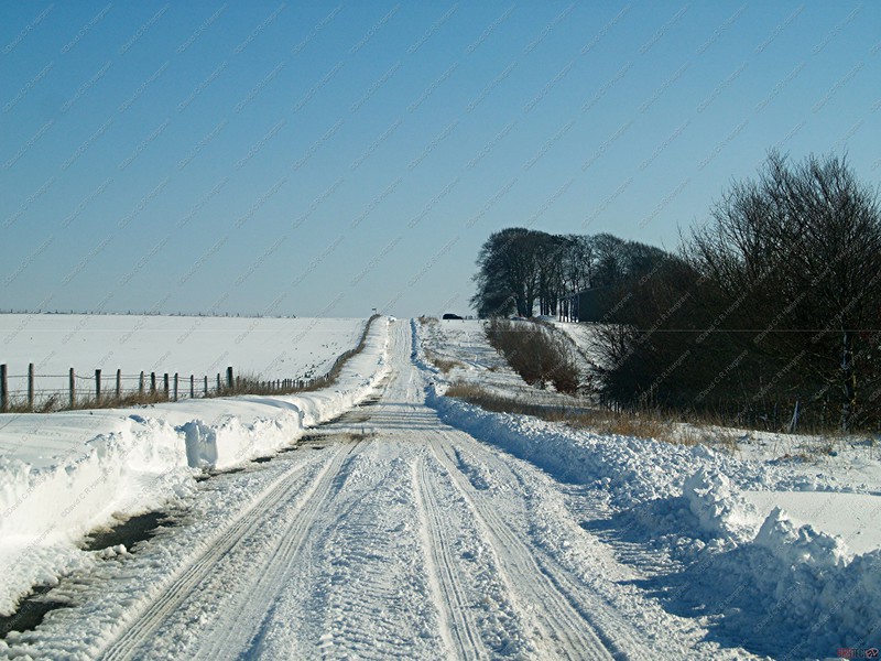
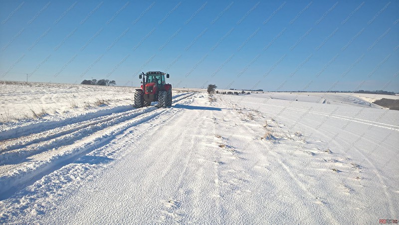
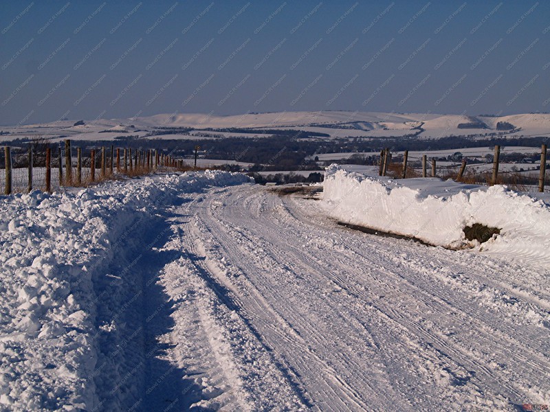
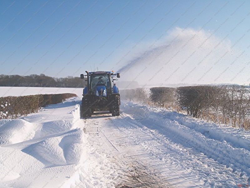
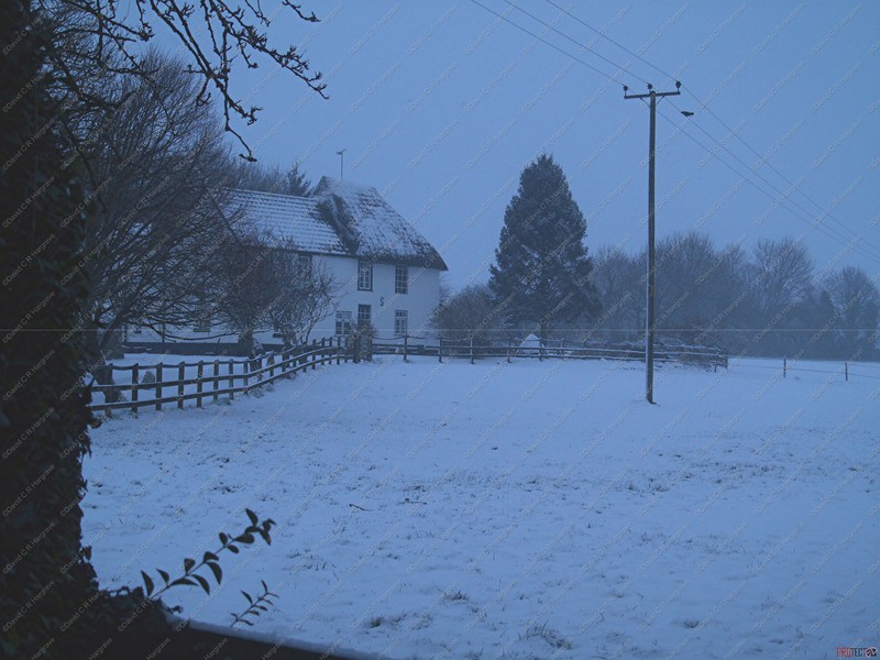
The early start at minus ten was really worth it! The local farmers, contractors and council staff were out and they cleared the snow. There was evidence of
the road having been ploughed and snow had been blown out of the road into the surrounding fields. This road is not a place to be when it snows, it is very high up and exposed to the elements,
from here you can see into the counties that border Wiltshire.
It was nice to have a friendly wave from the gritter driver, who was probably from Marlborough Depot, he would have been doing a gritting round a couple times a
day. Each round could take three to four hours to complete, a very reassuring sight.
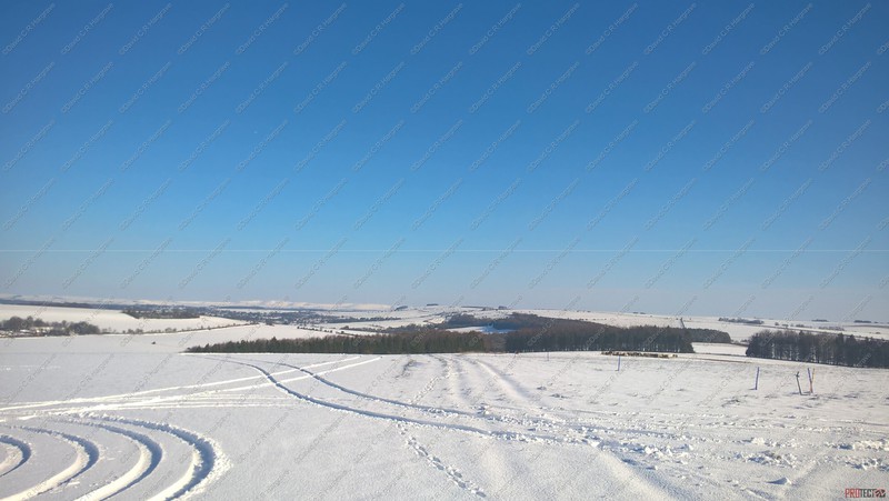
It was wonderful to see the frost twinkling like led lights in the reflection of the sun.


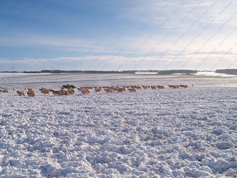
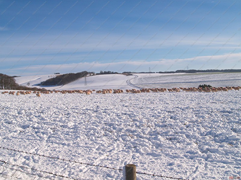
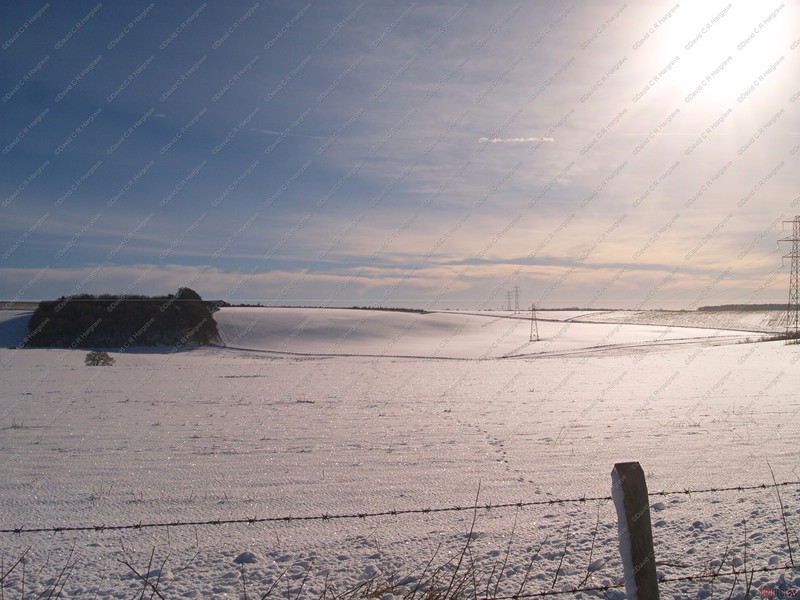

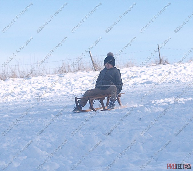
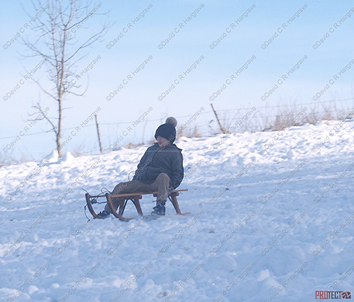
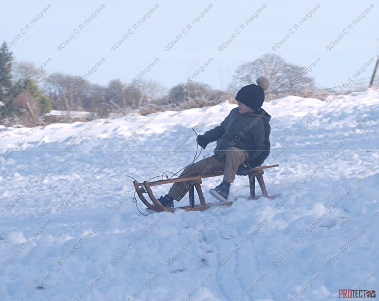
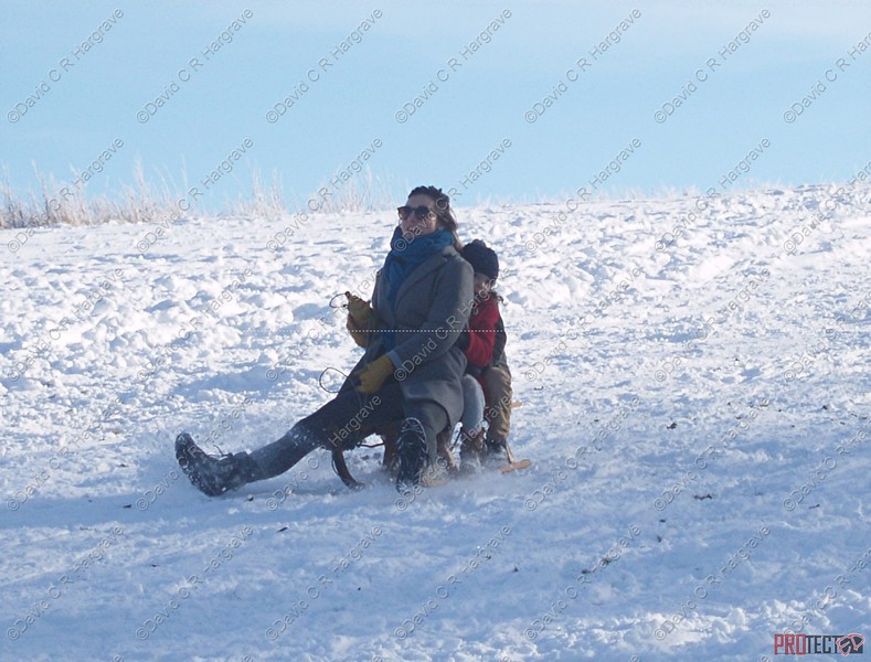
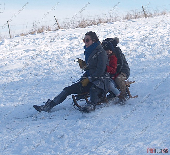
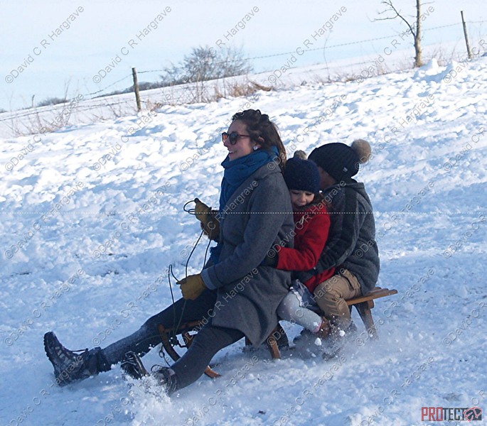
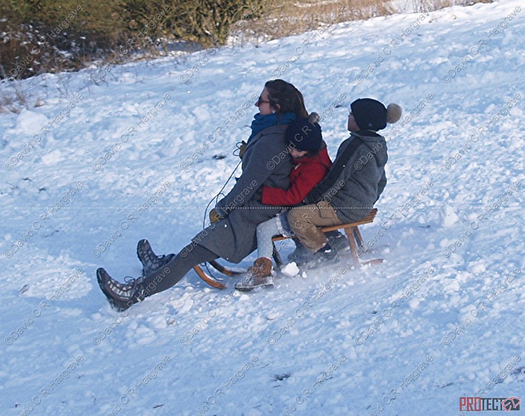
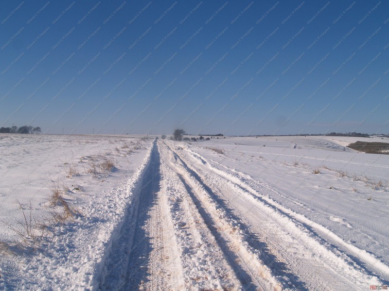
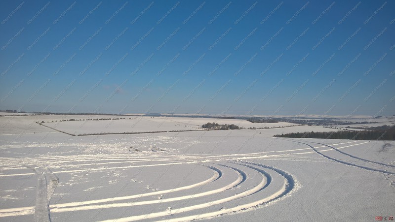
Salisbury Plain - 03.02.19
Another trip onto the Plain today see some snow art and children having fun!


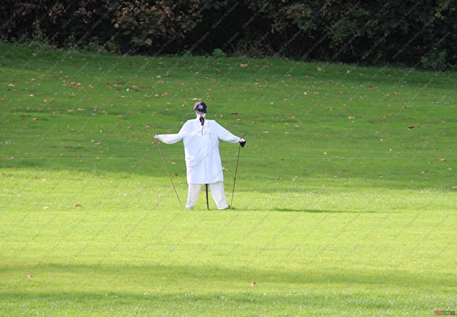
Urchfont - 02.02.19
Urchfont is a rural village and civil parish in the Vale of Pewsey to the north of Salisbury Plain in Wiltshire, England, about 7 miles southeast of the market town of
Devizes. The parish includes the hamlets of Wedhampton and Lydeway.
The name of Urchfont is often thought to derive from the phrase "Church Fountain" and is possibly derived from Latin fons meaning 'spring, fountain, well' (cf. fount), or
the first element may be a lost personal name such as Eohric.
The Urchfont Scarecrow Festival (a registered charity)was the first of its kind in Wiltshire. While other Wiltshire villages, including local rivals Lacock, have
now established their own festivals on a similar model, the Urchfont festival predates them, having been established in 1997, and is among the best attended. The idea was first brought to the
village by a resident who saw a similar festival in Derbyshire. Apart from being cancelled in 2001 because of the threat from Foot and Mouth disease, the 21 festivals to date have taken place
on the weekend of the first bank holiday in May every year, and have grown to become a major local event attracting large numbers of local and national visitors while raising money for local
charities and good causes.
Approximately 50 themed scarecrows made by villagers are distributed around the village, and visitors can buy a trail map which provides clues as to the identity of each
scarecrow.
Coulston, Wiltshire - 02.02.19
Just N of Salisbury Plain and E of Westbury, the village of Coulston used to be known as East
Coulston.
The parish is now part of the benefice of Bratton, Edington and Imber, Erlestoke, and Coulston.

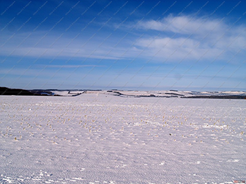
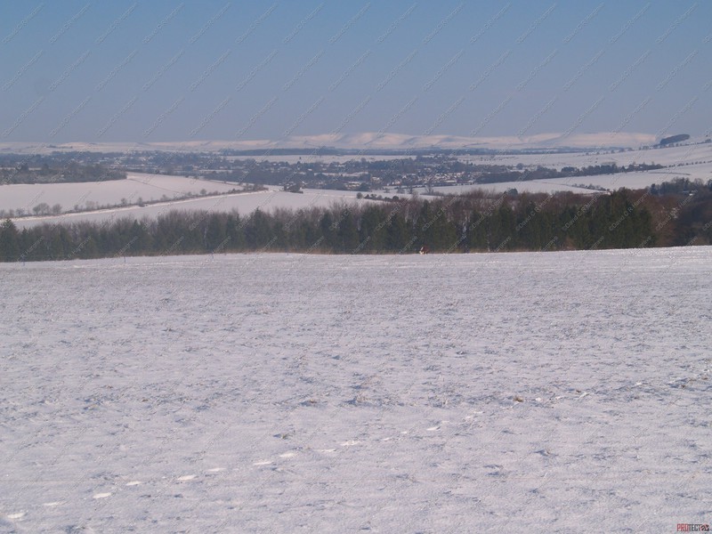
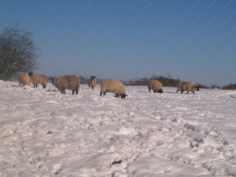
Salisbury Plain - 02.02.19
A little snowfall on the Plain!
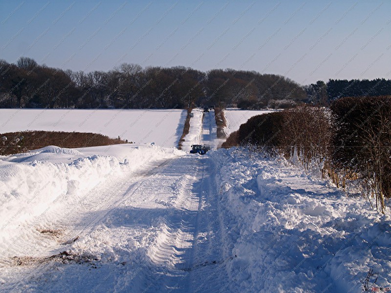
Snow is always a problem on Salisbury Plain and we have come to accept it. It is so open and high up that the Plain always suffers.
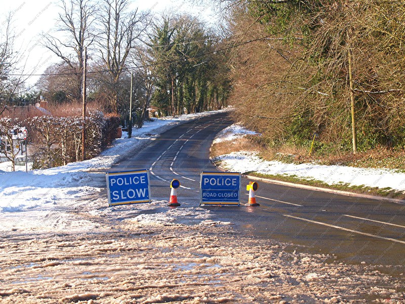
Having been out on the front line today, with the crews who were clearing the A342 and the side roads, which are still not really safe for traffic. it reminded me
of the many years spent when working for WCC. The same old places becoming blocked and the same old problems. Abandoned cars and never enough men and machines to cover all the roads at a
minutes notice.
Gritting cannot be carried out if it is raining, as this dilutes the salt. If a gritter machine is stuck in a queue of traffic, it is not able to do the job.
You then need the traffic moving, to help make the salt work. In temperatures below minus 10, we used to find the salt would just freeze.
Today I found many side roads closed or not safe to drive on. This was mainly due to the storm we had around tea time on Friday and then the wind blew the
snow from the surrounding fields and down land into the roads overnight.
The local farmers, contractors and staff who were out, were doing their very best to clear the snow, which may take a couple more days to complete.
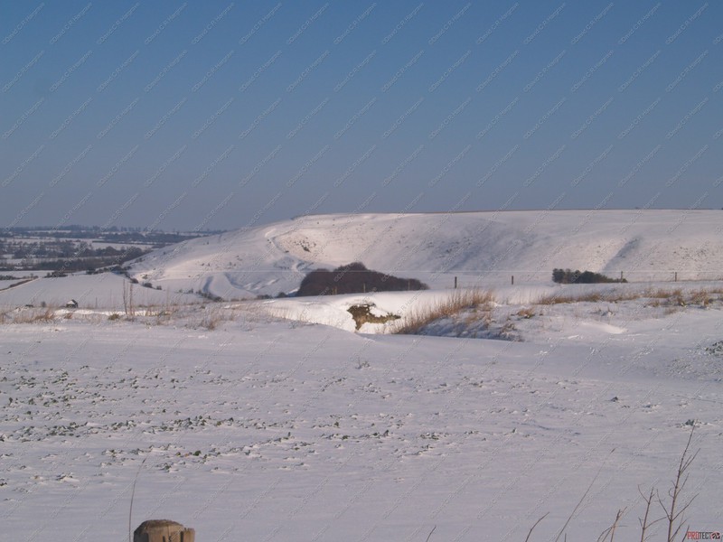


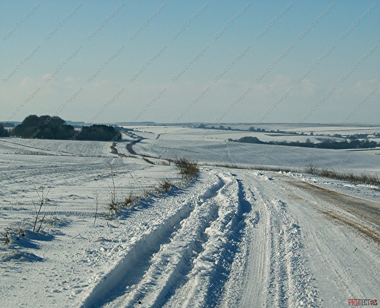
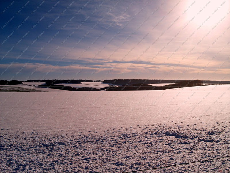
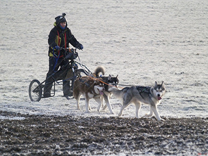
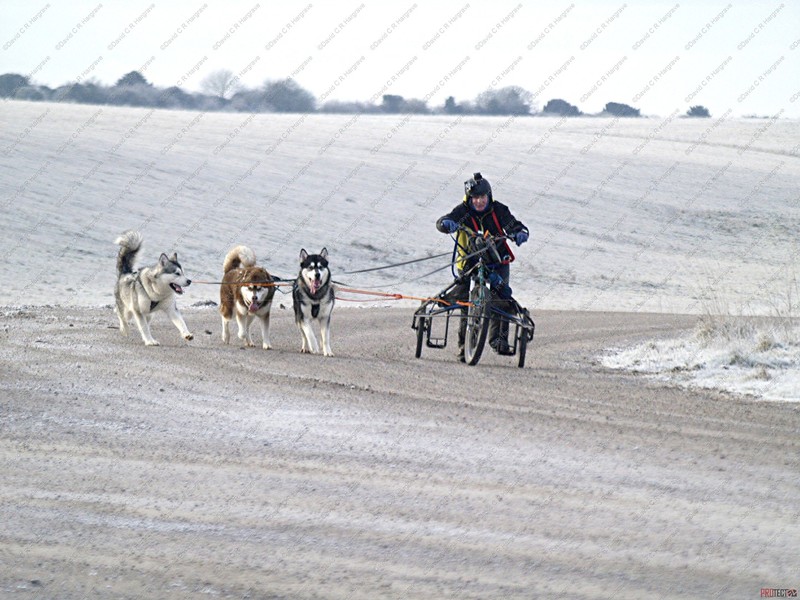
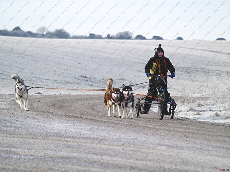
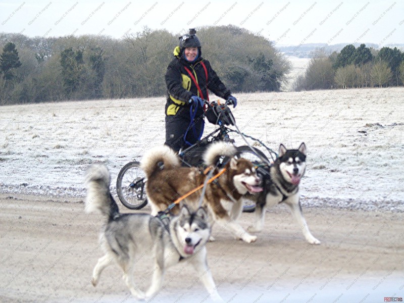
Salisbury Plain - 01.02.19
These photographs were taken this morning whilst I was out and about on Salisbury Plain.
It was minus 7 out on the plain early this morning with the Malamute dog teams out training and enjoying the cold weather!
Ablington - 01.02.19
These photographs were taken today at midday whilst out and about on the Plain and I dropped into the village of Ablington which had also seen 4" of snow and it was still snowing!
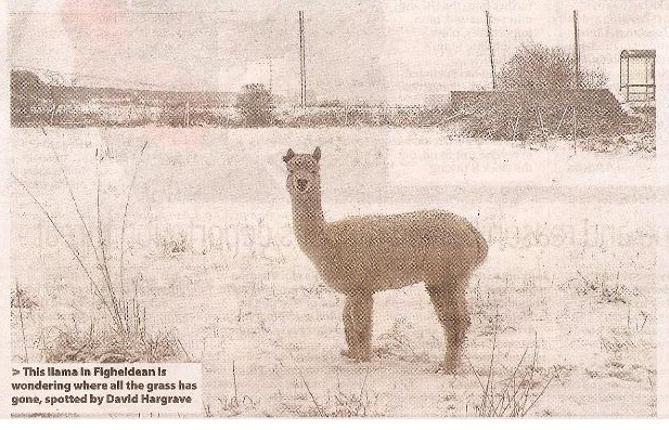
Figheldean - 01.02.19
These photographs were taken today whilst out and about on the Plain and I dropped into the village of Fighealdean which had also seen 4" of snow and it was still snowing!
Fittleton - 01.02.19
These photographs were taken today whilst out and about on the Plain and I dropped into the village of Fittleton which had seen 4" of snow and it was still snowing!
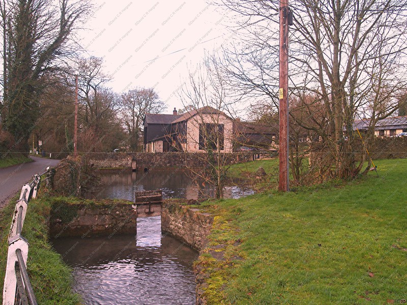
 The River Avon now but it never was, as this was the Mill Pond and Boating Lake!
The River Avon at Hackthorne
A few updated photographs of the River Avon at Hackthorne, in an attempt to replicate my Father's photographs, as shown on the page within this website dedicated to him.
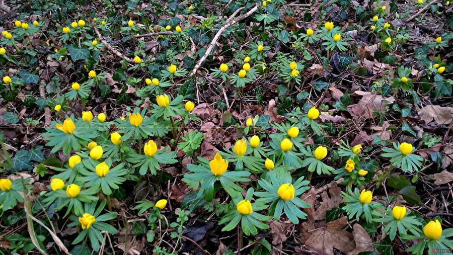
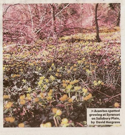
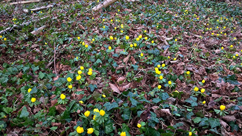
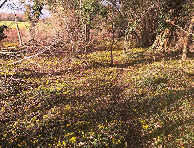
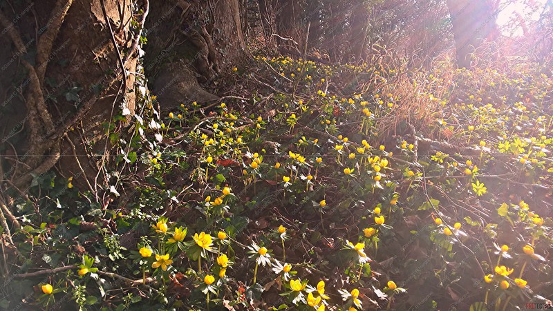
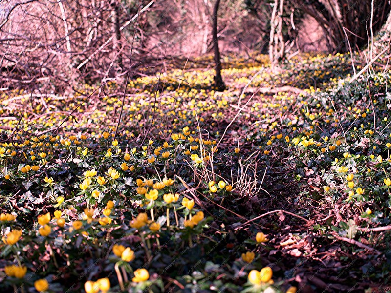
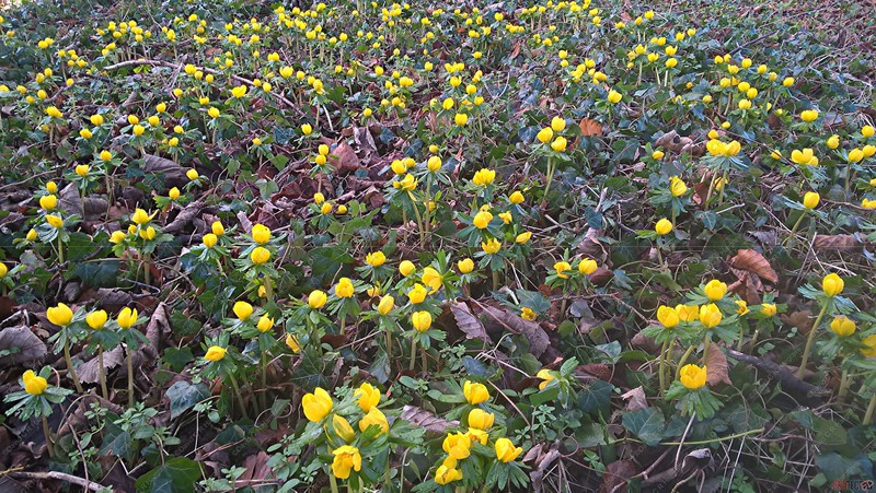
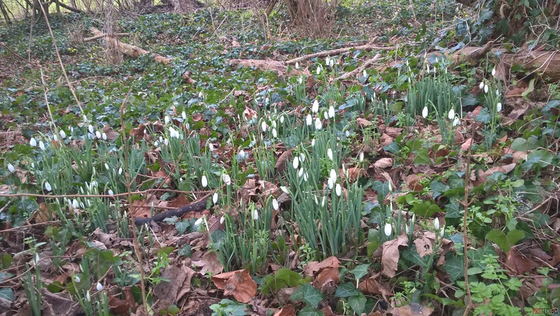
Aconites & Snowdrops at Syrencot - 15.01.19
These photographs were taken at Syrencot on the Plain.
The yellow flowers being aconites and of course the white, the more common snowdrops.
The winter aconite is shorter than its chum the snowdrop, but has wider, more interesting leaves that are shaped a bit like baseball mitts
They make a pleasant change in the woodland from the snowdrop and provide a better carpet of colour.
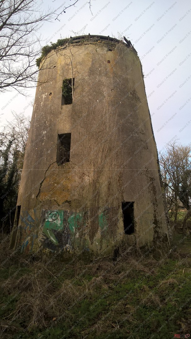
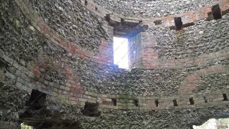
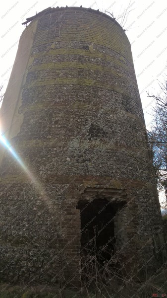
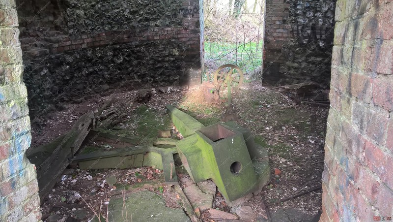
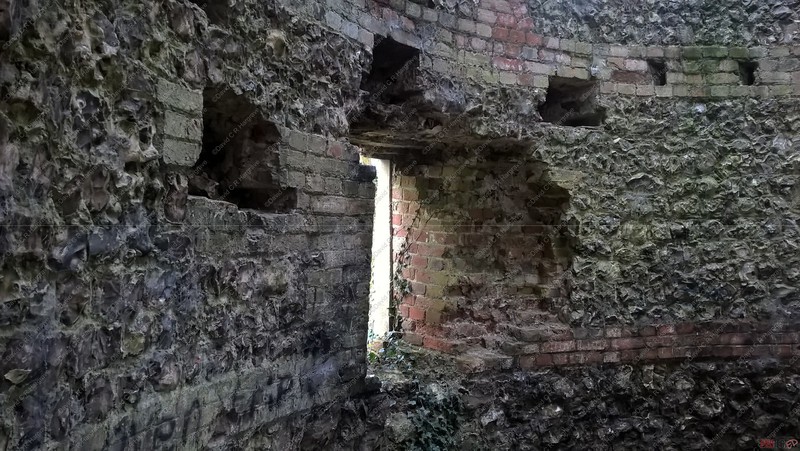
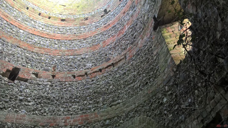
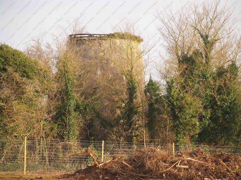
West Gomeldon Mill, Idmiston - 10.01.19
West Gomeldon Windmill II, Windmill tower. Late C18-early C19. 650mm flint walls with 3 and 4 courses brick lacings and dressings to openings, partly rendered.
Tower of truncated conical form. Four floors, now removed. Opposed doors on north and south. Windows 2 to each floor set diagonally above ground
floor.
Timber kerb. Interior gutted, but fallen remains of cast iron octagonal wind shaft with canisters and tail bearing, six-armed cross for fantail, chair for head brass and
various shackles.
Also runner and base of pair of French burrs, and decayed remains of timber shears.
Machinery said to have been moved to present site from Middle Wallop, Hants.
Mr A. E. Bray of Salisbury, recalled how his grandfather rebuilt the windmill at either West Gomeldon, Winterbourne Gunner from materials he had got from a mill near
Wallop.
This building has no access without permissions from the land owner and is a listed heritage building.
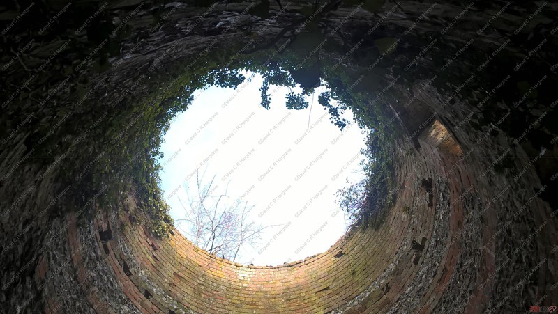
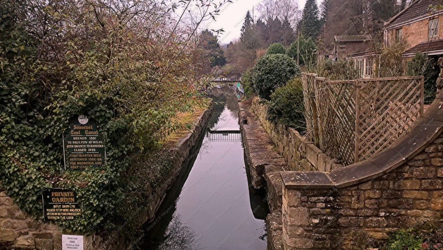
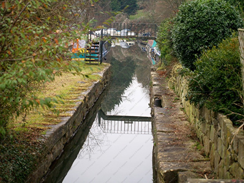
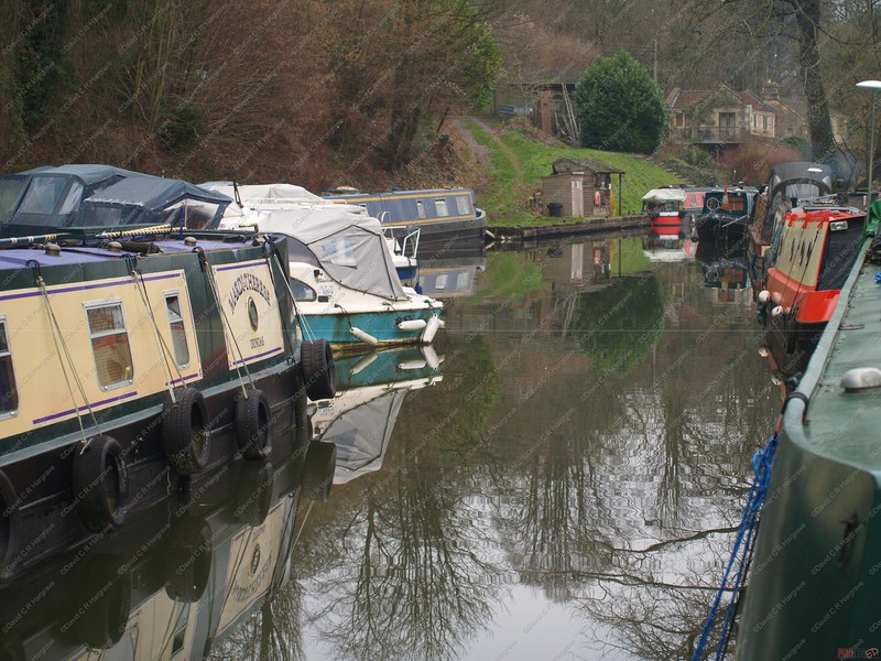
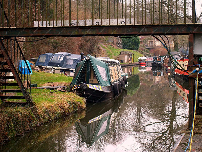
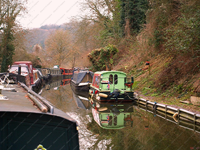
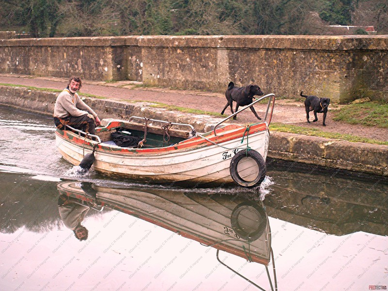
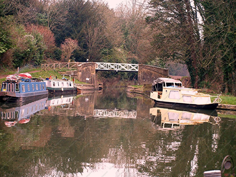
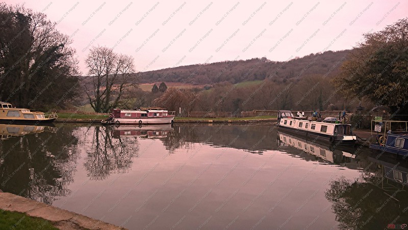
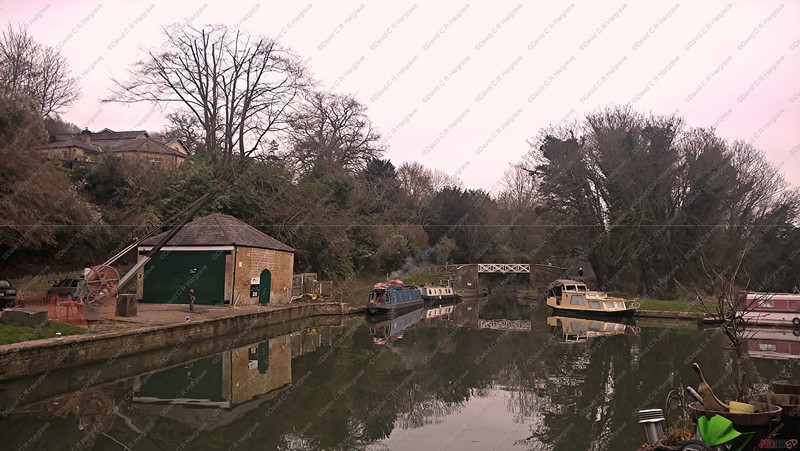
Limpley Stoke Aqueduct where the Somerset Coal Canal, joins the the Kennet Avon Canal - 06.01.19
The Somersetshire Coal Canal 1801 – 1898
The Somersetshire Coal Canal was built to carry coal from the Paulton and Radstock coal fields to the Kennet and Avon Canal.
It had basins at Paulton and Timsbury via Camerton, an aqueduct at Dunkerton, Combe Hay, Midford and Monkton Combe to Limpley Stoke where it joined the Kennet and Avon Canal.
Although the coal was relatively plentiful and there were markets for it across the South of England, sales had been small and prices high because the roads of the area
were exceptionally poor.
The Somerset Coal Canal was built to connect the mines with the major towns and was a very profitable venture.
This canal gave access from the Somerset coalfield, which at its peak contained 80 collieries, to London. The longest arm was 18 miles long with 23 locks. From Midford an arm also ran via Writhlington to Radstock, with a tunnel at Wellow.
It comprised two branches, one from Paulton and one from Radstock, which converged at Midford and then connected to the Kennet & Avon canal at Dundas near the
Aqueduct.
This end of the canal is the only part that is still an active canal, although it is just a marina now, where it joins the Kennet Avon Canal.
There was a drop of 135 feet from Paulton to Dundas, this was to be concentrated in a lock flight at Combe Hay, which would allow back-pumping with a Bolton & Watt
mine-drainage engine to overcome the lack of water supply which was needed to operate the locks.
A feature of the canal was the variety of methods used at Combe Hay to overcome height differences between the upper and lower reaches of the canal, initially by the use of caisson locks and when this failed an inclined plane and then a flight of 22 locks.
Before the locks could be built, however, an apparently better solution appeared in the form of Robert Weldon's
spectacular "Hydrostatick Caisson Lock".
When this failed, a temporary inclined plane was installed and the lock flight eventually completed.
The southern branch from Radstock was not successful as a canal, so a horse-drawn tramway was laid along the towpath instead. This was eventually sold to the Somerset & Dorset Joint Railway in 1871
The canal closed shortly after 1900 and most of it was drained for reasons of safety.
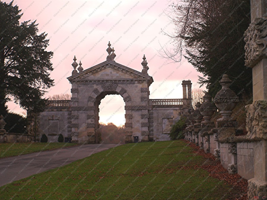
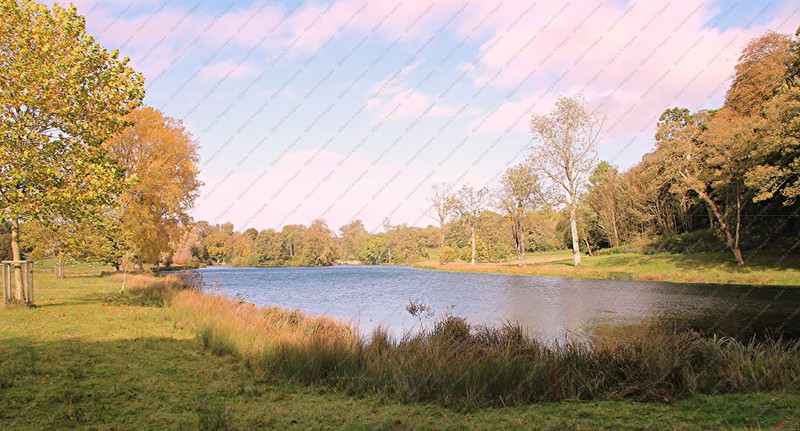
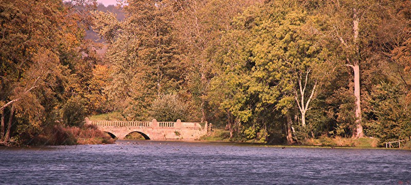
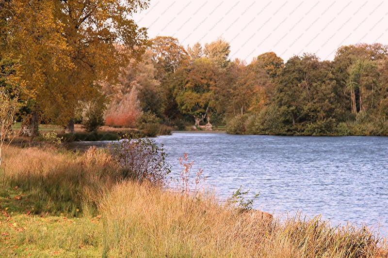
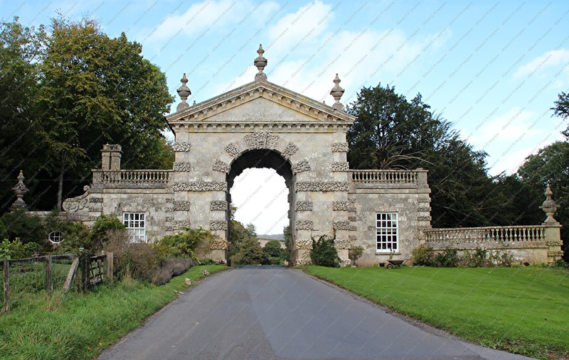
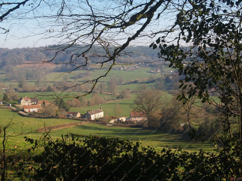
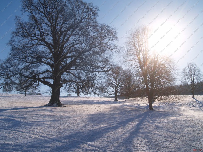
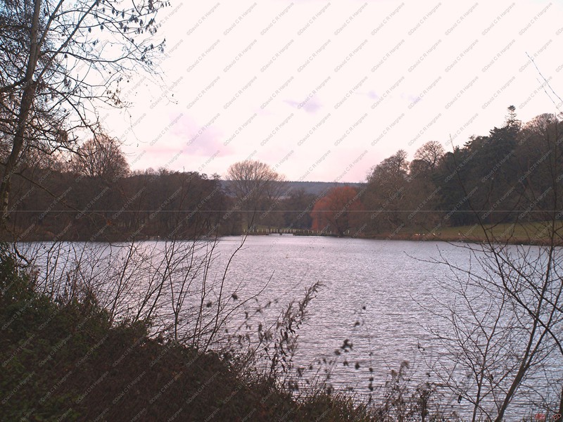
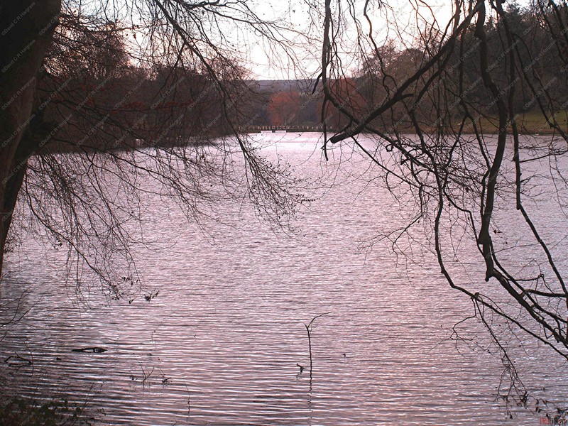
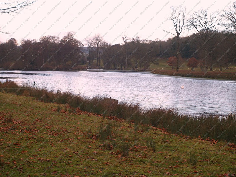
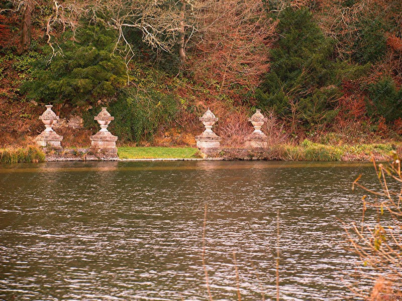
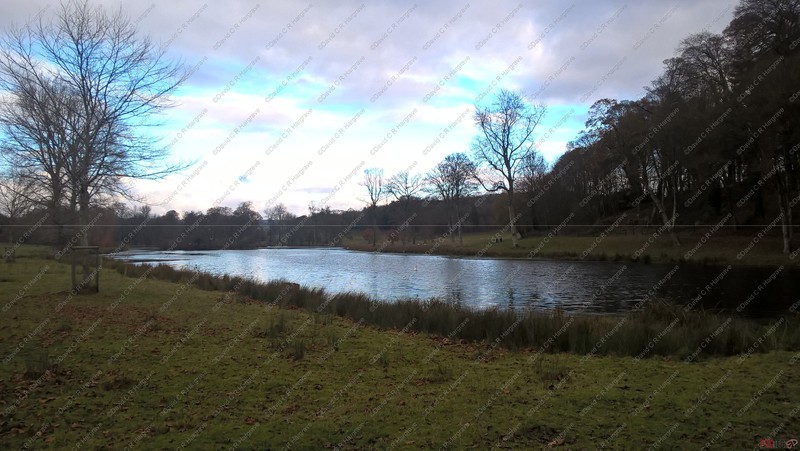
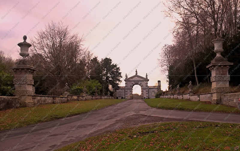
Fonthill Park - 27.11.18
These photographs were taken around Fonthill Park , the home of Lord Margadale.
The estate first bought by James Morrison in 1830 consisted of 1200 acres. It is now 9000 acres. It descended from Alfred (died 1897) to Hugh, MP for
Salisbury (died 1931), then John, MP for Salisbury, made Lord Margadale in 1964. His eldest son James, 2nd Lord Margadale, inherited in 1996 and died in 2003. It is now owned by his eldest son
Alastair, 3rd Lord Margadale.
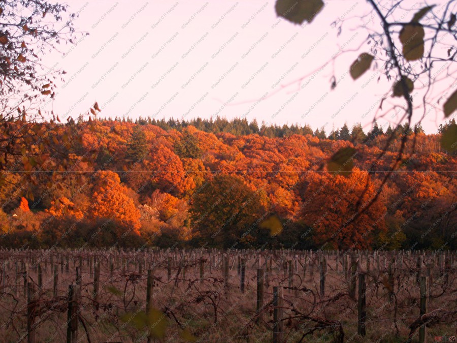
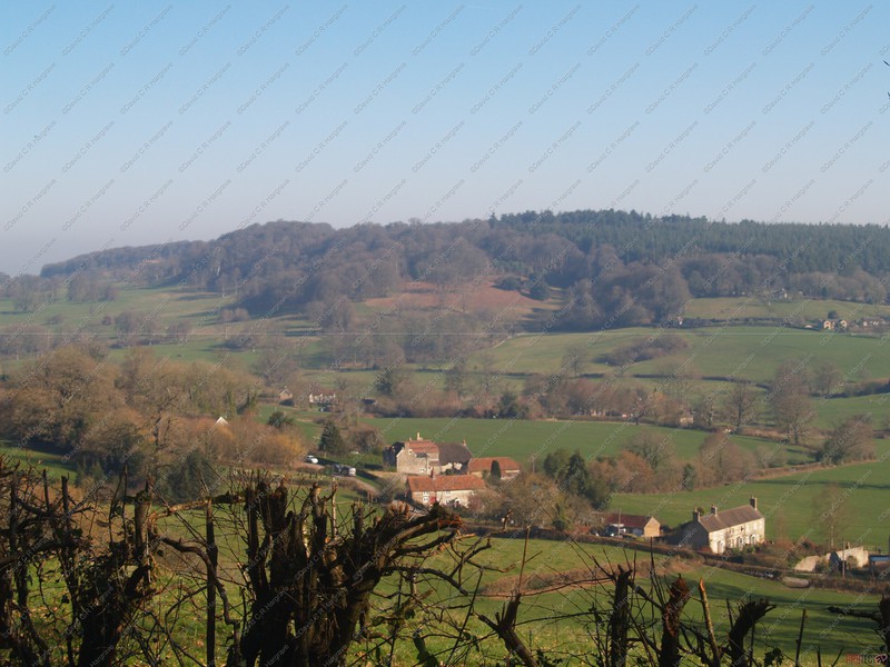
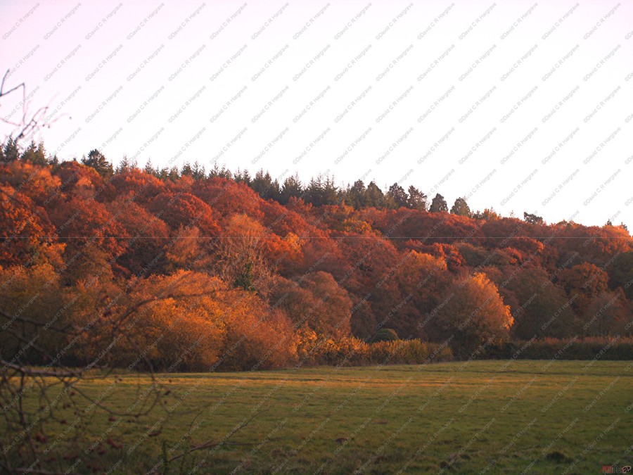
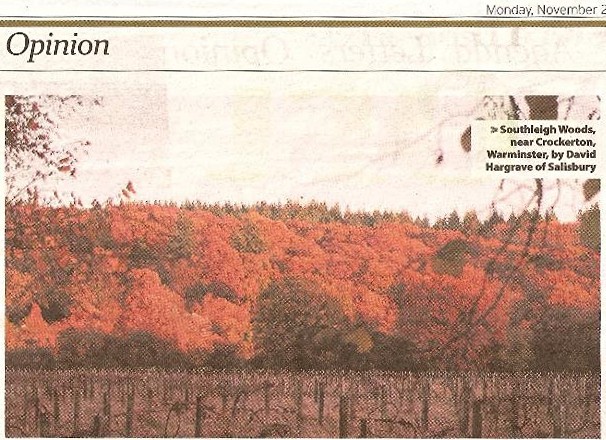
Southleigh Woods - 11.11.18
I noticed these beautiful autumnal colours on my return journey from the Bath Remembrance Day Parades. Taken in Southleigh Woods, near Crockerton,
Warminster.
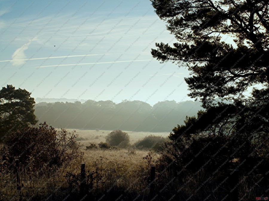
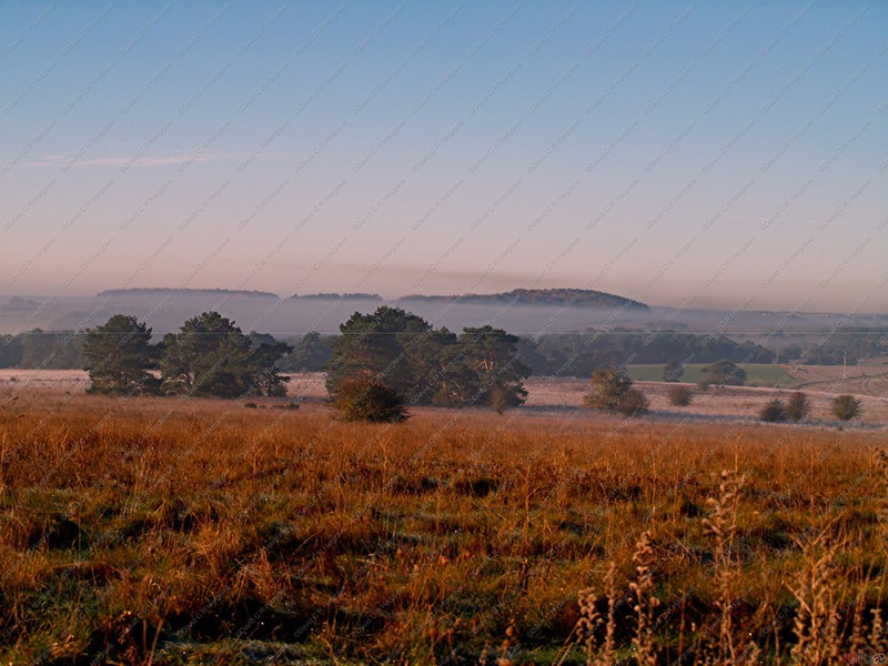
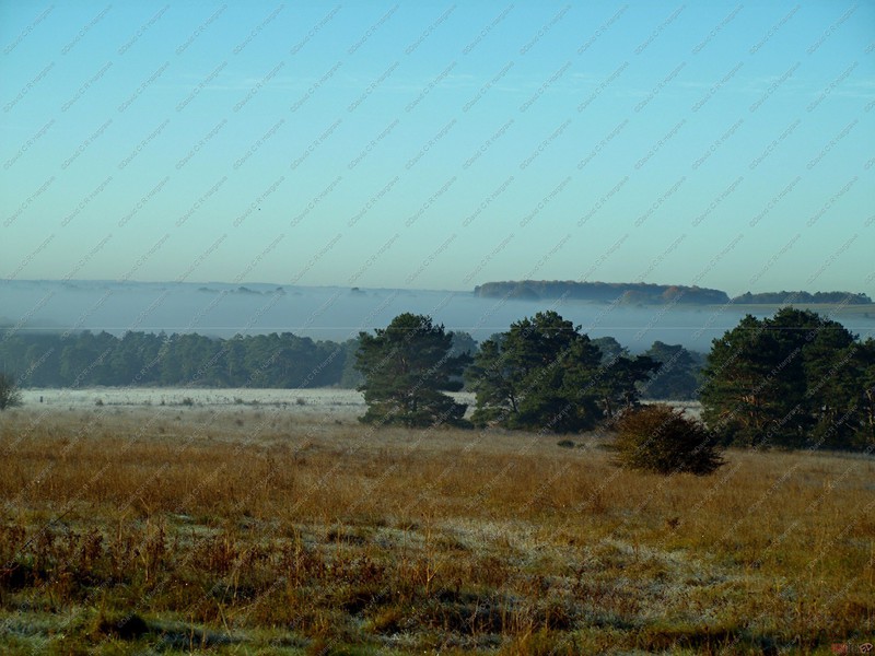
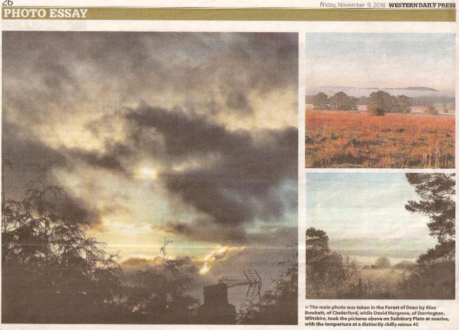
Salisbury Plain at Sunrise - 02.11.18
Temperature distinctly chilly at minus 4°C!!
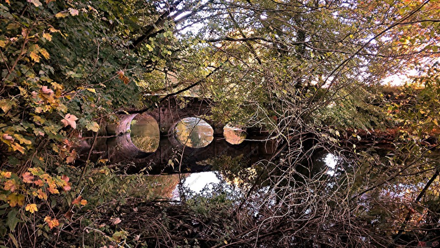
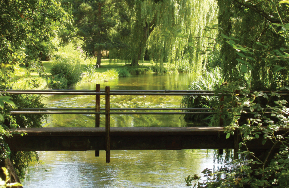
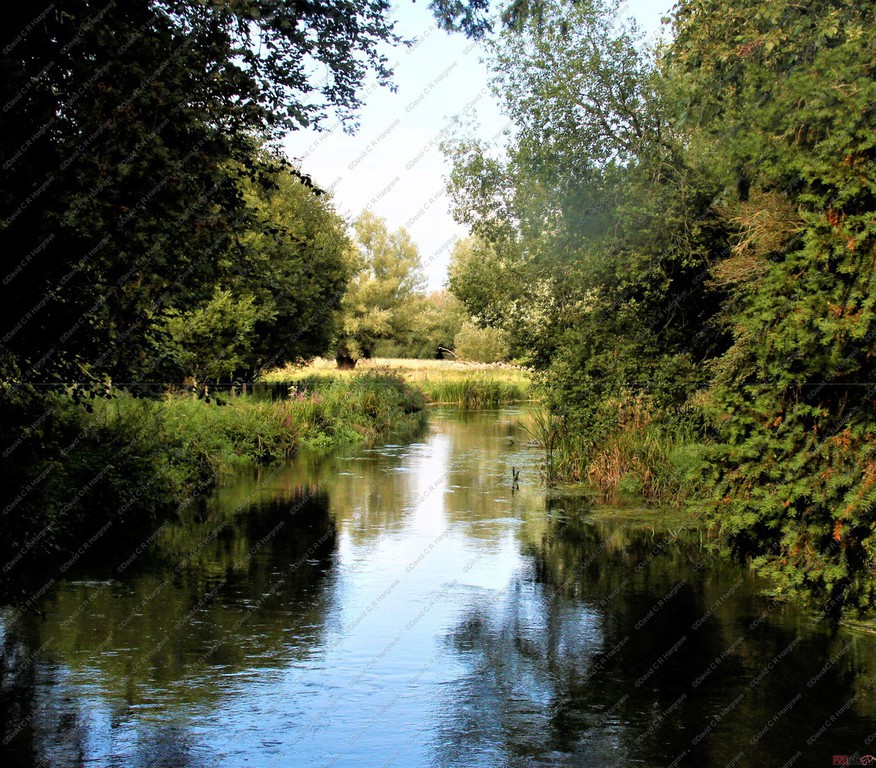
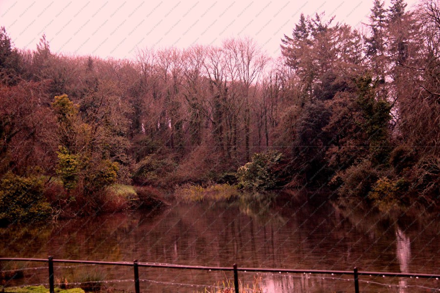
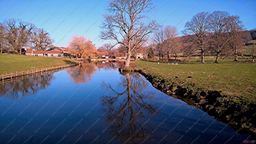
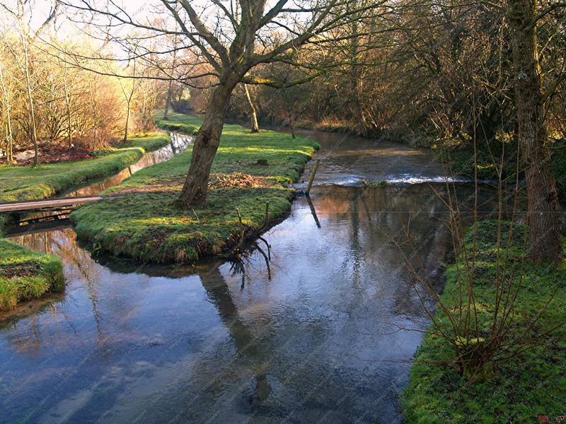
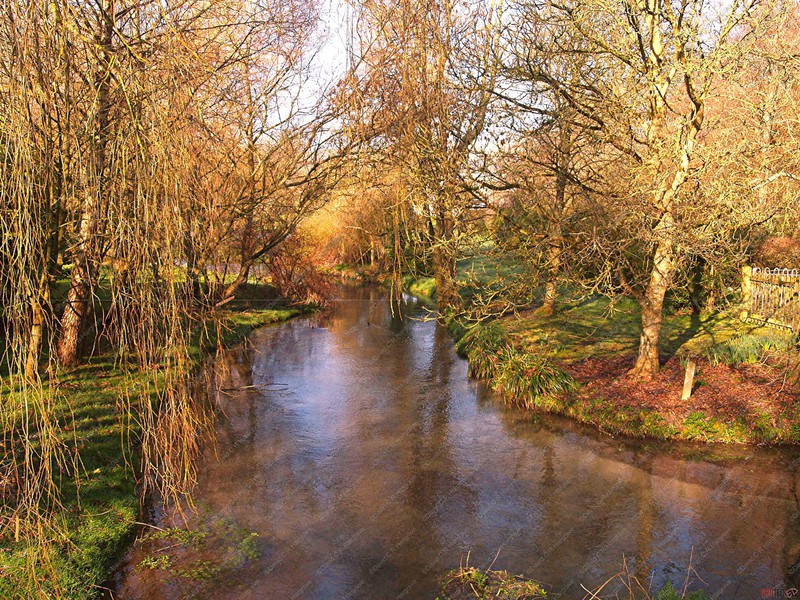
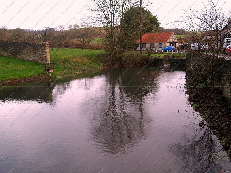
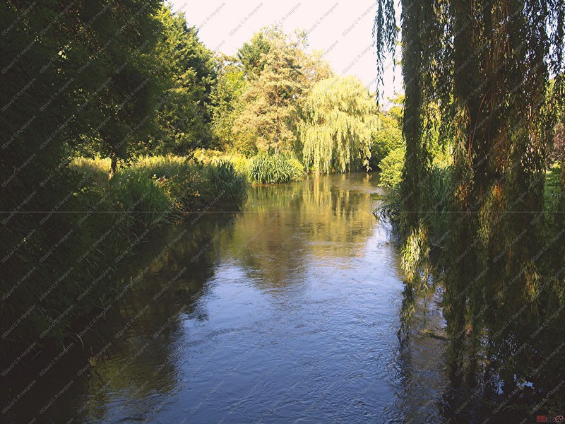
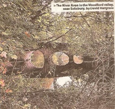
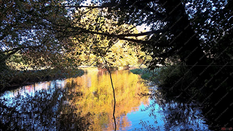
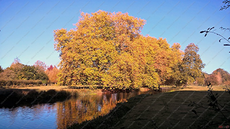
Reflections on the River Avon - 19.10.18
These photographs were taken in the Woodford Valley near Salisbury.
This website and its content is copyright of DCRH - © DCRH 2023. All rights reserved. Any redistribution or reproduction of part or all of the contents in any form is prohibited other than the following: • you may print or download to a local hard disk extracts for your personal and non-commercial use only • you may copy the content to individual third parties for their personal use, but only if you acknowledge the website as the source of the material. You may not, except with our express written permission, distribute or commercially exploit the content. Nor may you transmit it or store it in any other website or other form of electronic retrieval system.